Tree Equity Score: How to calculate yours - as map reveals less affluent neighbourhoods losing out on tree benefits

and live on Freeview channel 276
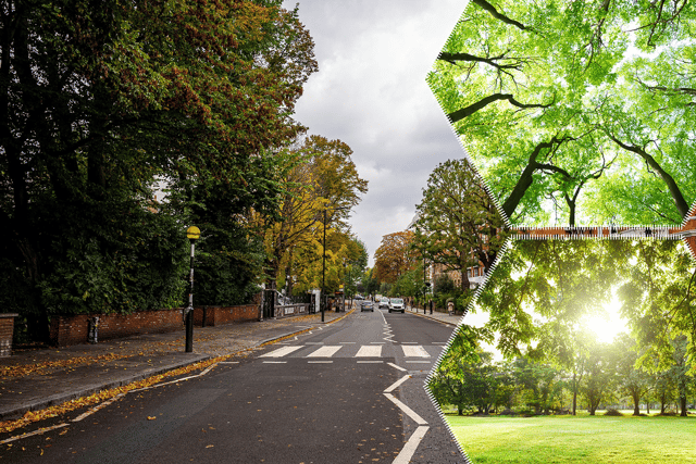
Less affluent parts of the UK have less trees, a new online map has revealed, and residents are missing out on the essential benefits they bring - like cleaner air and protection from extreme temperatures.
The UK neighbourhoods with the highest income levels have more than double the tree cover per person than less affluent neighbourhoods, and they have nearly 20% less nitrogen dioxide air pollution - a toxic gas created by burning fossil fuels. In England there were notable regional differences too, with the 10 local authorities with the highest scores in the south and the 10 with the lowest scores in the north.
Advertisement
Hide AdAdvertisement
Hide AdThis comes with the launch of a free, interactive tool known as Tree Equity Score, which uses new tree canopy data from Google, and six climate, health and socioeconomic indicators to generate a score from 0 to 100 for most urban neighbourhoods in the UK. It shows that, in areas of lower tree cover, there is a direct link to more pollution and poorer air quality.
First launched by US conservation nonprofit American Forests in 2021, Tree Equity Score has this month expanded to the UK - in a partnership between American Forests, the Woodland Trust and the Centre for Sustainable Healthcare. The Woodland Trust is now encouraging everyone to find the Tree Equity Score for their area and urge governments – both nationally and locally – to ensure this disparity is tackled.

CEO Dr Darren Moorcroft said the new tool was "a breakthrough moment for trees" in the UK. "For the first time everyone can see an inequity that is hidden in plain sight – access to the essential benefits of trees," he said.
The score showed that there were major differences in levels of tree cover between neighbourhoods, and that these often followed socio-economic trends, Dr Moorcroft continued. But he said the Tree Equity Score was a tool for action, "to start addressing this inequity and ensure the essential benefits of trees can improve public health and climate resilience for all".
Advertisement
Hide AdAdvertisement
Hide AdThe UK Tree Equity Score figures also showed tree cover had a dramatic effect on neighbourhoods, with those with the highest number of trees having up to 330% less air pollution. They were also as many as 4C cooler during a heat wave, than neighbourhoods where the tree canopy was lowest. The figures suggested there may be a racial disparity at play too: UK-wide, neighbourhoods with the fewest people identifying with minority ethnic groups had roughly double the tree canopy per person than neighbourhoods with the most, and experienced 50% less NO2 air pollution, and were 5C cooler.
"There are numerous underlying reasons for tree inequity, and it is a serious problem in need of immediate solutions. We believe the tool will inspire people to get involved with local projects to plant and care for urban trees. We are calling on national and local governments to integrate tree equity into national and local policies and plans, and to fund and recruit more tree officers to address tree inequity."
How did the NationalWorld team's neighbourhoods do?
David George, Health Specialist
"In a result that would surprise nobody, the city with the highest population density scores terribly on the tree equity score.
Following the 2021 Census, Portsmouth took the crown from London as the most heavily populated part of the UK - and it shows in the landscape. We do still have trees, in a smattering of green spaces such as Southsea Common and Alexandra Park, but you won't find anything even remotely resembling a forest down here.
Advertisement
Hide AdAdvertisement
Hide AdMost of the city was rated around 68 to 75 on the equity rating, with Portsmouth's composite score of 79 paling in comparison to its neighbours in Fareham, Waterlooville and Meon Valley. It's an issue that dates back decades, with the incumbent city council citing strict housing targets from the central government. Even as you read this, a new 600-home housing estate is in the pipeline towards the north of the city, in an already tree-sparse location.
Portsmouth locals won't have been surprised by these results - but we also know it's not going to get any better."
Hiyah Zaidi, Reporter
"Ranked first of the 122 LSOAs in Solihull, my particular few streets has a Tree Equity Score of 100. Solihull is a lush area with a slightly older age bracket as many people come here to retire.
But, the score is to be expected, as just a five-minute work from me is a Nature Reserve canopied with looming trees that make a walk in any season pleasant. Over the past few years, the demographic has changed as there has been an increase of ethnic minorities and young families in the area - so the face of Solihull is changing.
Advertisement
Hide AdAdvertisement
Hide AdI'm surprised at the result in a good way, as I have often thought my particular few streets were left alone to fend for themselves, as I hardly see any council work done to maintain nature. Although I realise it won't be a priority, it would be nice to see more greenery in this area, and a more interactive way to encourage people to keep Solihull green."
Natalie Dixon, Lifestyle Reporter
Natalie's Lincolnshire neighbourhood had a fairly average score of 70. She wrote:
"So to be honest I'm not surprised its not too high, as I'm surrounded by a lot of open spaced fields. I think a lot of the land is used for farming."
But she said it wasn't all so desolate, and she saw plenty of squirrels, foxes, and even deer. "There seems to be lots of trees and little woodlands round my house, so lots of wildlife - and I love seeing the frost on the trees in the winter."
How do I calculate my neighbourhood's Tree Equity Score?
More than 34,000 urban neighbourhoods are covered by Tree Equity Score, meaning that nearly 80% of the population can simply enter their postcode into the online tool here, and find their score.
Comment Guidelines
National World encourages reader discussion on our stories. User feedback, insights and back-and-forth exchanges add a rich layer of context to reporting. Please review our Community Guidelines before commenting.