
UK weather freezing Arctic blast: When Arctic winds and snow showers could hit with area of high pressure close to UK
Watch the Met Office video forecast, as Arctic winds and snow showers could be on the way.
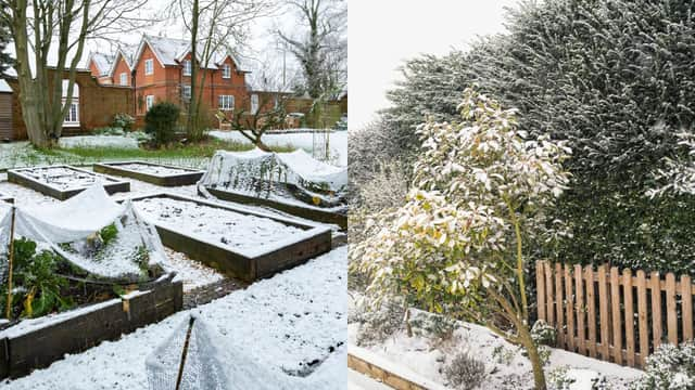
The UK did not see widespread snow on Christmas Day 2025, however there is the possibility of a snowy start to 2026 with a large area of high pressure sitting to the north of the country.
Aidan McGivern, Met Office meteorologist, said: “The high pressure is on the move, it's drifting out towards the west, and by Monday (December 29), Tuesday (December 30), we start to see some question marks about wind direction, because that will all come down to exactly where that high pressure will sit.

“Will the high pressure sit just to the west of the UK? Or just to the south west of the UK? Those are the two scenarios we're looking at for New Year's Eve onwards. A lot of confidence from the computer models for high pressure to the north right the way through until 2026, but then first couple of days of 2026 another weather pattern is in the mix, and these two scenarios are coming through in the modelling.
“The first scenario is that high pressure will push out to the west and sit just to the west of the UK and allow a northerly to arrive for the start of the year, with low pressure to the east, that would bring significantly colder weather, Arctic winds, sleet and snow showers into the north and the east and a marked decline in temperatures.
“But the other scenario that's coming through in the modeling is for the high pressure not to sit there, but sit further south, to the southwest of the UK. In this scenario, winds are coming in from the west, northwest, they're much less cold.”
He added: “At the turn of the year, there are two scenarios coming through the computer modeling. One is for a cold northerly, Arctic winds, wintry showers in the north and the east. That is considered 20 to 30% chance.
“More likely is for a northwesterly airflow around the top of area of high pressure sitting to the southwest of the UK, that would bring temperatures close to average, or a touch below, and it would bring some outbreaks of rain, some weather fronts into the north of the UK. But for many, it's going to stay dry with higher pressure remaining close to the UK, so a settled start to the new year most likely before perhaps things get more changeable through the first week.”
How the Met Office forecasts snow
In a video explainer, the forecaster said: “When it comes to predicting snow, a change in temperature of just one degree can mean the difference. But this small temperature change is also determined by other factors.
“The air tends to be colder on hilltops. A village at 300 metres may be cut off by snow, whilst a neighbouring village at sea level just gets rained on. Proximity to the sea also matters for an island nation like the UK. Seas and oceans have a moderating influence on climate, keeping us milder in the winter and cooler in the summer than would be the case if we were in the middle of a continent. Sometimes, just a few miles inland from the coast can be the difference between rain and snow.
“The intensity of the precipitation - rain, sleet or snow - is crucial. Water needs energy to evaporate, which it takes from the surrounding environment. Rain evaporates as it falls and takes heat out of the atmosphere. The longer and harder it rains, the more cooling takes place. If the temperature is already close to zero, enough cooling can result in snow.
“If [snow] arrives early in the morning following a frosty night, it can settle and disrupt the rush hour. A couple of hours later, the roads may have warmed up with the snow melting on impact. And of course, when snow arrives in the form of showers, just like rain showers, these can be very hit and miss.”
The three factors the Met Office considers when forecasting snow in the UK
According to the Met Office, meteorologists consider the following when forecasting snow:
Where the air has come from
If air has come from a warmer area, or has spent a long time over mild water, then it would be harder to generate snow. If the air is coming from a cold region, then there’s a chance of snow being a possibility.
Very heavy precipitation
Most precipitation in the clouds starts off as snow or supercooled raindrops, and often melts before it comes to ground. In winter, intense precipitation can keep temperatures lower closer to the ground, increasing the chance of heavy rainfall turning into snow.
When warm air meets cold air
Presenters often talk about weather fronts between warm and cold air. In the winter, these fronts can introduce the moisture and conditions for snow to fall.
What month are we most likely to see snow in the UK?
The Met Office says the UK is more likely to see snow in January and February than in December, with snow actually settling on the ground (snow lying) an average of 3 days in December, compared to 3.3 days in January, 3.4 days in February and 1.9 days in March (1991 - 2020 long-term averaging period).