
Is heatwave on the way? Met Office weather forecast reveals when rain will stop

With a bank holiday on the horizon, rumours a heatwave is on the way will be welcomed by many - but is there any truth in it? Here’s the Met Office’s weather predictions for the coming days.
Warmer and drier conditions are on the horizon for the UK - but when they will arrive and just how hot it will get is not clear. Forecasters at the Met Office have warned of showers during the first half of this week as temperatures rise to potentially their highest level so far this year.
"As we move into Wednesday, there is a temporary easing in the unsettled conditions," a forecaster said. "While low pressure remains nearby, a short-lived lull between weather systems allows for a calmer day overall.
"There will be more in the way of sunshine, along with lighter winds for many areas, although north-western parts of the UK are likely to remain breezier with the influence of the low pressure still nearby. Showers become fewer and lighter compared with earlier in the week, with no significant risk of thunderstorms during this period."
Temperatures will reach around 20C in many areas, they said, where sunny periods will be more prolonged. And from Thursday, high pressure is forecast to start building, helping push weather fronts further north and west, bringing "increasingly warm" conditions to southern and eastern areas of the UK.
"Thursday itself may still see some rain across Northern Ireland and western Scotland as a weather front lingers here," the forecaster went on. "However, across much of England and Wales, brighter and warmer conditions develop, with increasing amounts of sunshine through the day.”
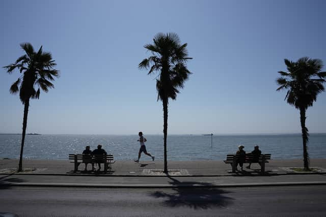

The warmer spell could see temperatures reach highs of around 24C, they said, with Friday potentially bringing the "warmest day of the year so far" to many areas, "especially across south-eastern England".
"Highs could reach the high 20s here, while mid-20s are possible across parts of northern England and Wales," the Met Office added. However, they said despite the warmth, conditions will not be completely settled, with some unsettled weather nearby and "a few showers" likely to develop.
"These are most likely across western areas and, at times, along the south coast of England," they said. "Some of the showers in southern areas could be heavy and potentially thundery later in the day, although many places will remain dry with sunny spells throughout."
Weekend weather forecast
The weekend forecast, however, is "warm with showers, then turning drier", the Met Office predicted. A risk of showers remains, the experts added, especially across southern and central parts of the UK, where "some thundery downpours cannot be ruled out".
"As the weekend progresses, high pressure is forecast to become more dominant," they said. "This should lead to a gradual reduction in shower activity, with Sunday and into the following Monday likely to see more settled and drier conditions developing for many areas."