
Maps show where wildfires are burning in Georgia and Florida, what's the latest on the situation?

The state of Georgia’s Governor took to X to discuss the wildfires.
Brian P. Kemp, Georgia’s Governor took to X on April 21 and wrote: “My office and I are working closely with the Georgia Forestry Commission to respond to the increasing threat of wildfires in South Georgia.
“If you are in a directly affected area, please adhere to guidance from your local officials to keep you and your family safe.”
Georgia Agriculture Commissioner Tyler Harper said: “In response to the wildfires across Georgia, I am extending the application deadline for Hurricane Helene Block Grant Program to May 11, 2026.
We would never put Georgia farmers in a situation where they would be forced to choose between responding to this current natural disaster or submitting their application for relief from last.”
Five hours ago, the Georgia Forestry Commission Facebook page gave an update on the wildfires in Georgia and wrote: “Wildfire Update – Georgia.

“Today, the Georgia Forestry Commission responded to 31 new wildfires, burning 266 acres statewide.
“This does not include:
“• The Pineland Rd Fire, now estimated at 31,307 acres and 10% contained
“• The Highway 82 Fire in Brantley County, now estimated over 5,000 acres and 15% contained
“With ongoing drought conditions and no significant rainfall in sight, wildfire activity remains elevated across Georgia.
Safety Reminders:
“• If you do not need to be in or near an active fire area, please stay out
“• No drones — flying drones near wildfires is illegal and can ground firefighting aircraft
“• Use caution on roadways where smoke may be present
“• Follow all instructions from local officials, including road closures and any potential evacuations
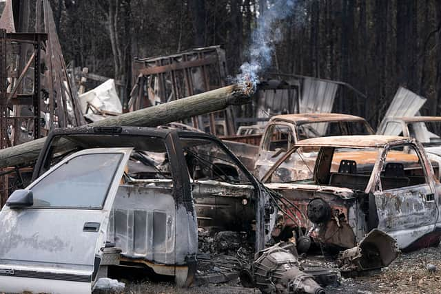
“We know families have already been impacted, and our thoughts are with those who have lost homes and property.
“We are incredibly grateful to the firefighters and first responders working around the clock in these challenging conditions, and to our local, state, and federal partners, as well as communities across Georgia, for their continued support.
“Every call, every acre, and every response matters — and so does prevention.
“Fighting fire. Protecting forests. Serving Georgia.”
Two days ago, the Facebook for Florida Forest Service wrote: “ New Red Flag Warnings in Effect
“Drought conditions, low humidity, and winds have led to the U.S. National Weather Service (NWS) issuing Red Flag Warnings for most of the inland regions in northeast, central, and southwest Florida. As wildfire dangers continue to grow, fire officials do not recommend any outdoor burning of any type. Currently, 38 Florida counties are under county-wide burn bans.
“Stay alert and adhere to any local guidelines.”
In order to see interactive maps of current reported and active wildfires in Florida, you can take a look at FFS Active Wildfire Points You can check maps of wildfires in Georgia here.