
Met Office: When the 600-mile 'rain bomb' from Hurricane Erin is likely to hit the UK

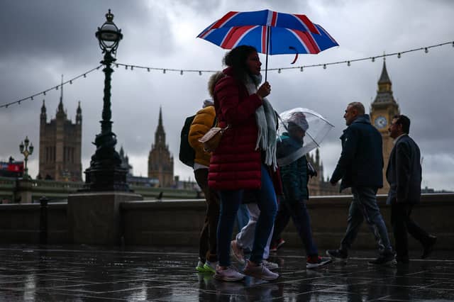

The 600-mile “rain bomb” created by the offshoot of Hurricane Erin is about to hit the UK.
Enjoy today’s sunshine while you can, as the bank holiday marks the last day before high pressure over the UK is dislodged by ex-Hurricane Erin’s spin-off, which has been travelling across the Atlantic.
It has long been forecast that some rain is on the way, and the long bands of rain will be moving.
But first, enjoy Monday. Met Office meteorologist Kathryn Chalk said about today: “It’s a fine day on offer, with plenty of sunshine.”
Scotland will also see more sunshine today than in recent days, and the rain is due to start passing over the western edge of the UK, from Scotland, through Wales and Cornwall, at about 10pm today.
Ms Chalk added: “To start Tuesday morning, it’s a bit of a more unsettled start across the midlands and across northern England and into Scotland but the band of rain will generally start fizzling out as we go into late morning and then replaced by sunny spells and scattering of showers but some will avoid them.
“It’s still going to be feeling quite warm across the south east but in the west across the temperatures are falling closer to average.”
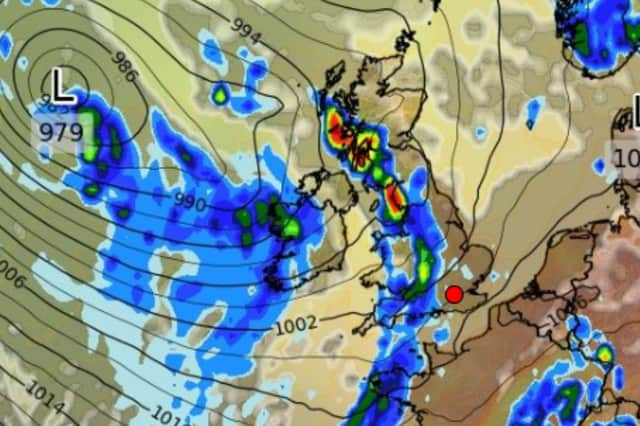
The Met Office has said the weather will stay “unsettled” into Wednesday and Thursday as well, but forecaster WX CHarts has gone further than that. It has produced a forecast which shows heavy rain across almost all of the UK at midday on Wednesday .