
Met Office issues snow and ice warnings as Arctic blast blows in with up to 10cm of snow predicted in some areas

The Met Office has issued fresh snow and ice warning for part of the country as an Arctic blast is set to blow across affected areas.
Yellow weather warnings for snow & ice have been introduced for most of Scotland, beginning from 4pm on Thursday afternoon (February 12). A separate yellow warning for snow and ice will be in-effect across northern parts of England from 7pm on Thursday evening.
Both warning will remain in place until 12pm on Friday afternoon (February 13). The fresh cold blast comes as a Arctic air settles in across the country, bringing temperatures down over coming days.
There are already yellow weather warnings for rain in place for parts of Aberdeenshire and western Scotland, which are due to expire at midnight tonight (February 11). The Scottish Environment Protection Agency currently has three flood warnings and seven flood alerts in place across the country.
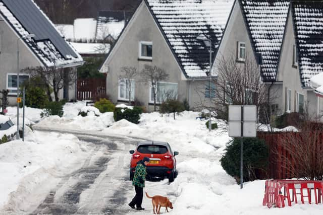

Met Office spokesman Grahame Madge said: “Currently we’ve got warnings out for parts of Scotland, particularly the east and parts of the south-west west of Glasgow. Those are rain warnings, but increasingly, there will be a bit of snow mixed in with those as the conditions start to cool.
“Over the next few days, and beginning in northern Scotland really from today, we’ll start to see an incursion of an air mass called Arctic maritime air, and that will bring temperatures down. That will begin to extend down southwards from Scotland into parts of northern England, possibly getting further south than that by the weekend.
“There may be some snow showers to lower levels. So the snow and ice warnings that we’ve issued at the moment cover pretty much Scotland and Northern parts of England. There may be some snow showers a little bit further south than that.
“We’re not expecting any particularly impactful snow and the conditions will be quite brief before we get another system coming in from the Atlantic over the weekend, but for the next few days, it will feel quite a bit different, as we’ve got colder air coming in.”
Forecasters predict that settled snow will be confined to higher ground, with around 2-5cm possible above 200 metres. Up to 10cm may settle in areas above 300m.