
Met Office snow forecast: Wintry showers and icy conditions this weekend as Arctic air sweeps UK

The Met Office is forecasting a return to wintry showers and icy conditions for the UK as Arctic air sweeps the country.
Just when it started to feel like spring had finally sprung, the UK is yet again facing wintry showers and icy conditions. Arctic air sweeping in this weekend could trigger “freezing conditions” and even snow in places, according to the Met Office.
It was feeling much colder on Friday (March 13), with temperatures around four degrees below average as a north-westerly wind began dragging colder air from the Arctic region. Scotland is now bracing for potentially disruptive snowfall, while the north of England is on alert for freezing temperatures.
It comes after 70mph gale force winds battered parts of Scotland, the north of England, the Midlands, Wales and Yorkshire.
Grahame Madge, spokesperson for the Met Office, said: “The cold could trigger some freezing conditions as skies begin to clear after those wintry showers, so we could see icy patches.”
Mr Madge continued: “Parts of the higher areas of the Lake District, the Pennines, possibly even as far as the Yorkshire Dales and North York Moors, might begin to see some wintry conditions, and freezing conditions overnight, but we’re not anticipating that this is going to last long. A good guide here is if people haven’t experienced freezing conditions so far, then they’re not likely to over the next few days.”
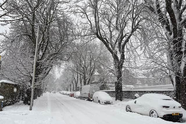

Areas forecast to be below freezing overnight include Yorkshire & Humber, with minimum temperatures of minus 1C, Northern Ireland, with a minimum temperature of minus 2C, and Dumfries, Galloway, Lothian and Borders, with a minimum temperature of minus 2C, according to the Met Office.
Traffic Scotland has urged road users to “use caution crossing Dornoch Bridge due to high winds currently affecting driving conditions” with further traffic disruption likely across Scotland where mountain snow may cause issues on some Highland roads including the A93.
The cold snap comes a week after sunshine and 19.2C temperatures, with the chill caused by a cold plunge over North America supercharging the jet stream ahead of its Atlantic passage. The powerful jet stream, with wind speeds of more than 200mph, raced across the Atlantic and has helped develop a deep area of low pressure near to Iceland.
This swept across the UK on Thursday, drawing down cold Arctic air behind it. However, these kinds of weather conditions are not unusual for this time of year and milder temperatures could return soon.
Mr Madge said: “March is notorious for being a month that straddles winter and spring, so the fact that we get the occasional colder spell or warmer spell, it’s just the two main seasons of summer and winter vying for dominance. The emphasis really is that we’re past the peak of the cold.”