
Met Office UK weather forecasters predict milder conditions and even sunshine by end of February - here's when

The Met Office is predicting milder weather conditions are just around the corner - here’s when it should start warming up.
Warm weather worshippers unite - intense storms and dull skies are set to make way for higher temperatures and sunshine as spring nears, according to forecasters. The winter months have seen the UK plunged into darkness, with sunseekers seeing just 70% of the average sunshine so far this season.
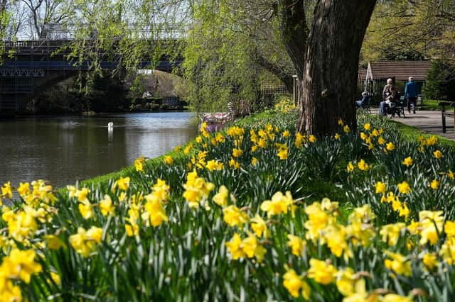
But with one week left of winter, Met Office forecasters are expecting milder conditions and even some sunshine before February is out. They said the south of England could expect daytime temperatures of up to 15C at the start of next week.
Senior meteorologist Greg Dewhurst added: "So temperatures throughout next week, by day look like to be around between 10C and 14C generally. Any sunnier breaks, maybe locally 15C in the south."

The meteorological winter, as used by forecasters, runs from the start of December to the end of February and the averages for rain and sun are calculated by using data from the past three decades. So far across the end of 2025 and into 2026, the UK has been battered by bad weather, with rainfall above the average for the last 30 years.
Mr Dewhurst said this winter does not look "remarkable" overall - but when broken down regionally reveals "big differences" in how different areas have fared. The Met Office said eastern Scotland has seen 114% of its rainfall, while northern and north-western Scotland have had just 60%. The Midlands is on 140% of its expected rainfall, while north-west England is on 90%.
But Mr Dewhurst said the next week or so will see "pretty much business as usual weather", meaning regional averages could drop before the end of winter. Met Office presenter and meteorologist, Alex Deakin, said of the regional differences: "A southerly shift in the jet stream, driven by the freezing conditions across North America, pushed low‑pressure systems further south than usual.
"Combined with a blocking pattern that caused these systems to stall, this set up a semi‑permanent south‑easterly flow into the UK. As a result, rain has been funnelled in from the surrounding seas into the south-west of England, eastern Scotland, and the east of Northern Ireland, while western parts of Scotland have been notably drier than normal."
The Met Office also said climate change provides “important context” for wetter weather, with projections indicating a greater likelihood of intense storms like those seen this year in the future. As the globe warms, the atmosphere can hold more moisture, approximately 7% more for every degree Celsius of warming, meaning when it rains, downpours can be heavier and more intense, the forecasters added.