
Met Office weather for autumn equinox: Dry and bright but clear skies bringing frost to UK in places

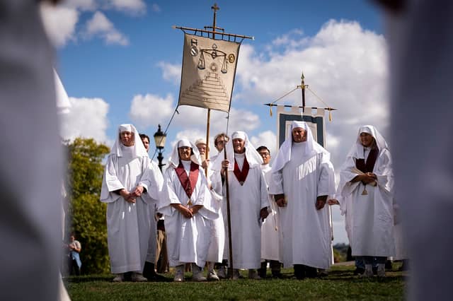

More settled weather is on the cards - for a short spell - according to the Met Office but clear skies will bring frost to parts of the UK as autumn equinox arrives.
Marking the end of summer, with nights set to become longer than days, the autumn equinox is upon us, but what does that mean for the weather? Well, the Met Office is predicting more settled conditions this week - but not for long.
The autumn equinox is taking place on Monday (September 22), signalling the point when the northern hemisphere begins to tilt away from the Sun, leading to shorter days and cooler temperatures, according to the Met Office. From this time, nights become longer than days.
The date that astronomical autumn starts can change each year and usually takes place on September 22 or 23. Meteorological autumn begins on September 1 and ends on November 30.
During the equinox, the Sun shines directly on the equator, resulting in nearly equal day and night lengths. The Met Office is predicting the start of autumn this year will begin dry and bright with more unsettled weather arriving in the coming days.
Met Office meteorologist Oli Claydon said: “Autumn is what we call a transition season between summer and winter, moving towards typically more unsettled weather, but it doesn’t mean we won’t have spells of what people consider warmer weather.”
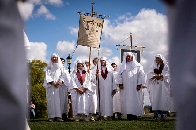
This week, the weather is expected to be dry and bright for most of the UK, until the weekend when wind and rain are expected to move in, Mr Claydon said. There has been below average temperatures over recent days, with low temperatures of minus 2.1C on Sunday night along with more than a dozen areas below freezing.
However, temperatures are expected to be around average this week, with highs of 17 or 18C, the meteorologist added.
Met Office UK five day weather forecast
From Monday, high pressure brings with it a largely dry and settled week. Tonight, there will be clear skies for many, according to the Met Office, allowing a patchy frost to form in rural parts of the north and west.
In the far north and southeast however, cloudier skies could bring a few coastal showers which may become heavy at times. It may also be breezy in these areas, with winds easing inland.
Heading into Tuesday, it will be a chilly start for most, but it should remain dry and fine with sunny spells throughout the day. Again, the exception will be in the far north and southeast where patchy cloud will linger and heavy showers will persist.
It should stay settled until the end of the week with temperatures slowly on the rise. From Wednesday to Friday, each day will become slightly cloudier than the last, with occasional light showers in places.