
Met Office weekend weather: “Notable shift” forecast although more snow predicted for some

The Met Office says “a change is on the cards” after this week's snow and ice but even so, it’s still not going to feel much warmer.
A “notable shift” in the UK’s weather is being predicted by the Met Office following snow and ice this week - but it’s still not going to feel much warmer, they say. Despite the move to more wet and windy conditions, it’s going to remain chilly, according to the forecasters.
Following the recent cold snap where most people woke to morning frosts and even snow in many places, more unsettled weather is now on the cards. A spokesperson for the Met Office said: “Weather fronts from the Atlantic are poised to bring cloud, rain, and even a touch of hill snow, with significant regional variation expected.”
The transition is set to begin on Friday night (November 21) with the persistent northerly winds that have dominated the week giving way to a more westerly or south-westerly flow. The Met Office explains: “This change in wind direction is significant, as it signals the arrival of Atlantic weather systems. As these fronts move in, cloud cover will increase, and outbreaks of rain are likely to develop, particularly in western areas. Some higher ground may even see a brief spell of snow as the system pushes through.”
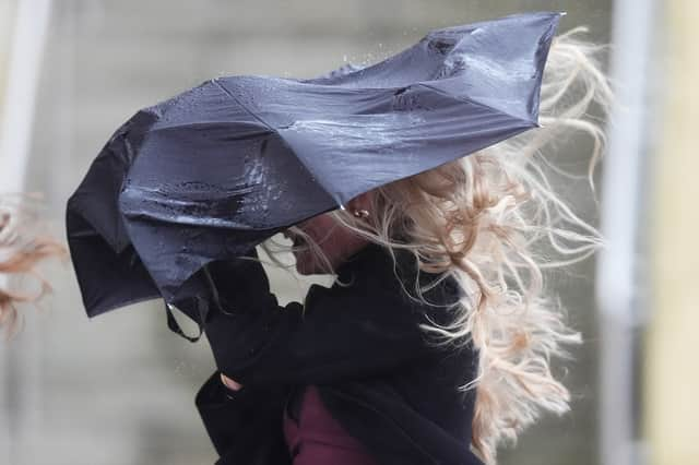

While the southeast will perhaps have a dry but cold start to the day on Saturday (November 22), most of the country will begin under a cloud - literally - with rain likely. This may improve during the day though with breaks in the cloud allowing for some sunny spells. The Met Office spokesperson added: “Despite these brighter intervals, further showery rain is expected to move into Northern Ireland, Wales, and the southwest later in the day.
“The southeast and East Anglia are likely to remain dull and damp into the afternoon, with winds strengthening as the weather system moves through. Temperatures will be a touch higher than earlier in the week, but the combination of a cold start and increasing cloud will mean it still feels rather fresh. By the end of the day, the southwest could see temperatures reaching double figures, but elsewhere it will remain on the chilly side.”
Looking ahead to Sunday, the Met Office says the forecast is “more complicated”, with “significant uncertainty in the weather models”. The jet stream is expected to split over the Atlantic, leading to some uncertainty about which weather system will dominate.
“The latest indications suggest that a secondary area of low pressure will become the main feature, moving in from the Atlantic during Saturday night and into Sunday,” the spokesperson added.
“This low pressure is forecast to sit across Northern Ireland before spreading into England and Wales by Sunday morning. If this scenario unfolds, tightly packed isobars across the southwest will indicate the potential for strong, gusty winds. The European ECMWF model suggests this low could be deeper and more intense than the Met Office model, which would mean a slower-moving system with more pronounced impacts.”
Whatever happens, it’s likely Sunday will bring showers or longer spells of rain with gusty winds for some. While temperatures will edge up a little further by the end of the weekend, reaching around 9 to 12°C in the southwest but only close to the seasonal average elsewhere, the strength of the wind will mean it won’t feel much warmer than it has done recently.