
Met Office weather warning in force with potential danger to life - latest forecast

The Met Office weather warnings have been extended into Monday with the risk of “danger to life” in some areas.
“Very heavy and persistent rain" continues to sweep across the UK on Sunday (December 12) with amber weather warnings in place until next week. The alerts warn of a potential danger to life in some parts of the country.
The national weather service has warned flooding is likely on Sunday and Monday affecting homes and businesses in parts of northern England and south-west Scotland.
The amber weather warning for rain came into effect at midnight on Sunday and covers south-west Scotland including Dumfries and Galloway, the Lothian Borders and Strathclyde. Some areas could see 110mm to 130mm of rainfall before the alert expires at 11.59pm tonight.
There is another amber alert in effect for Cumbria, lasting until 6pm on Monday. The alert warns of “fast flowing or deep floodwater”, “delays and cancellations to train and bus services”, “difficult driving conditions and road closures”, and “power cuts”.
ScotRail announced on X that “due to forecast heavy rain across Dumfries and Galloway, for safety reasons, services between Kilmarnock and Dumfries will not operate” on Sunday. Network Rail Scotland also announced that several rail lines, including Bridge of Allan–Perth, the West Coast Main Line, and services between Glasgow Central and Stranraer or Carlisle via Kilmarnock, would operate with speed restrictions from 6am on Sunday due to weather concerns.
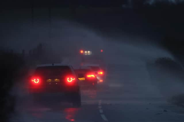

The A66 in County Durham and Cumbria was closed in both directions due to high winds between the A1M at Scotch Corner and M6 at Penrith, National Highways announced.
A yellow rain alert is in place for Northern Ireland until 6am on Monday, with the Met Office warning “flooding of a few homes and businesses is likely”.
Marco Petagna, meteorologist at the Met Office, said: “Really, it’s a very slow moving band (of rain). That’s why we’re going to see those high rainfall totals. So the warnings are out quite widely across the sort of north-west of the UK, even down into Wales as well.
“Over the next few days, we’re looking at 20mm to 70mm towards the north-west of the UK, so one to three inches of rain, fairly widely. In those amber warning areas, we could see 200mm or more,” Mr Petagna added. “So that’s eight inches or more – and yes, obviously, quite likely to give some flooding issues over the next few days.”
A yellow rain alert remains in place across South West Scotland, Central, Tayside and Fife, Highlands and Eilean Siar until 11.59pm on Sunday. Further warnings cover parts of England, including the East Midlands, North East England, North West England, Yorkshire and Humber, until 6pm on Monday.
Those in the areas covered by the amber alerts for rain should avoid floodwater where possible.
The Met Office advised residents in affected areas to prepare a flood kit, containing insurance and any other important documents, a torch and spare batteries, a first-aid kit and prescription medicines. The kit should also contain supplies for looking after family members or pets, as well as warm and waterproof clothes, blankets, and food and water, the Met Office said.
The UK is likely to see mild temperatures of 10C to 13C over the next couple of days, which is three or four degrees above the seasonal average, Mr Petagna added. Though it is expected the weather will settle around Tuesday next week, the respite is likely to be brief with more heavy rain set to come in from the west from Wednesday, Mr Petagna said.