
Polar vortex collapse forecast: Stratospheric Warming event could see Arctic air reach UK in February

Forecasts of an imminent polar vortex collapse could see temperatures plummet in February and even into March.
Although the days are slowly lengthening we are still in the midst of winter - and with the risk of temperatures plummeting in February - we’re unlikely to forget it. Forecasters are expecting an imminent polar vortex collapse which could see Arctic air spilling out from the poles and reaching the UK.
Experts at Severe Weather Europe said: "The latest forecasts show a potential full collapse of the Polar Vortex, following a Stratospheric Warming event in early February. High-resolution model data shows a breakdown of the polar circulation, forecast to create a prolonged release of cold air across North America and also Europe in February.”
You might be wondering how a ‘warming’ event leads to cold weather - us too. Harnessing the expert knowledge of the weather bods at the Met Office to explain the phenomenon, a spokesperson for the national weather service said: “Every year in winter, strong westerly winds circle around the pole high up in the stratosphere. This is called the stratospheric polar vortex and it circulates around cold air high over the Arctic.
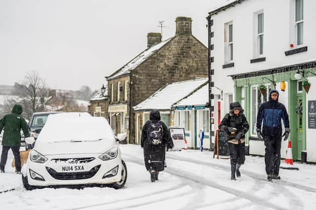

Sometimes though, these winds can temporarily weaken, or even reverse, which leads to the cold air rapidly descending. When this happens the temperature in the stratosphere rises rapidly. The spokesperson continued: “As the cold air from high up in the stratosphere disperses, it can affect the shape of the jet stream as the cold air sinks from the stratosphere into the troposphere. It is this change in the jet stream that causes our weather to change.”
So what does that mean for our weather? Well, as the jet stream ‘snakes’ over the North Atlantic and Scandinavia, a long spell of dry, cold weather is likely to hit northern Europe, including the UK, which may bring snow to some areas too.
However, these events can only be reliably predicted about a week in advance, and the Met Office is not currently predicting anything too severe. In fact, heir long-range forecast says February is more likely to begin with more wet and windy weather for most.
It reads: “Whilst mild conditions are expected to encroach into the south and southwest at times, cold air is likely to be positioned to the northeast, bringing wintry showers at times. Where fronts from the south west do reach the cold air towards the north east, there is the risk of some snow, most likely across hills, but perhaps extending to other areas at times.”
Looking further ahead into February, more wintry weather is expected to be reserved for the more northern parts of the UK. The Met Office forecast reads: “Whilst mild incursions of wet and windy weather are favoured at times in the south and west, colder conditions in the north and northeast will bring an increased risk of wintry hazards, especially where any precipitation from the south west interacts with the cold air.”