
Snow forecast Thursday: North of UK set for chilly blast - while it's wetter in the south

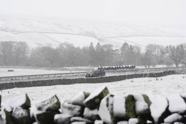
Scotland and parts of England are on alert for snow as a weekend winter blast is set to freeze the north.
While a chill is likely for that end of the UK, the south and south-west is braced for more heavy rain, with a warning in place today for Devon, Cornwall, Somerset and Dorset until 3am on Friday.
Matthew Lehnert, Chief Meteorologist at the Met Office said: “On Thursday, showers in southwest England will be replaced by a more organised area of rain when the next system reaches the south of Cornwall around Thursday lunchtime. There’s a yellow warning for rain in place from noon until Friday morning, with the focus for heavier rain across south-west England as the wet conditions spread northeast across the warning area.

“The rain is only likely to last for a few hours in each location but will be heavy at times. 10 to 15 mm is likely quite widely, but in some areas, particularly towards the south coast, a further 20 to 25 mm is possible. This rain will fall onto already saturated ground, compounding the impacts of Storm Chandra, so we’re encouraging people to stay up to date with the latest forecast and follow any advice from the emergency services and local authorities.”
The Met Office thinks Friday will bring further rain and blustery showers to the west and southwest, with colder conditions further north and slightly milder air in the south. Brighter spells are expected between showers, while Scotland may see additional hill snow.