
Snow forecast UK: Weather predictions include "unsettled conditions" including frost and fog

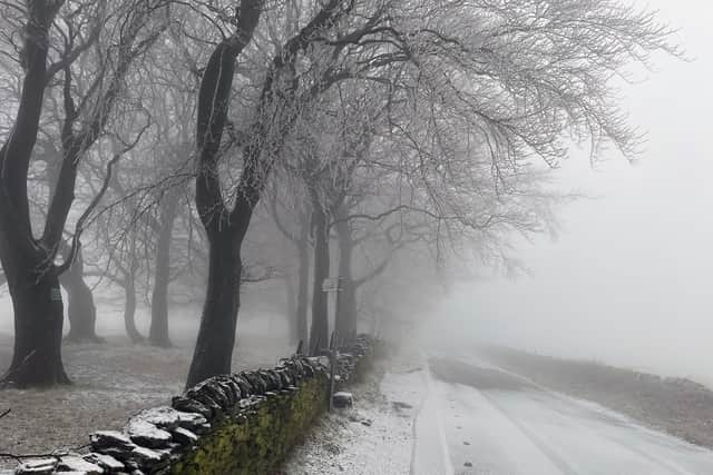
Weather forecasters say there is a risk of snow in the UK ahead of “unsettled conditions” bringing frost and fog to some regions.
Snow could strike parts of the UK today - as temperatures plummet and winter arrives. Forecasters are warning of a covering of the shite stuff in some higher parts of the country from around 6pm.
A weather model by GFS shows areas across Scotland could be impacted, including the Highlands, particularly around Inverness and parts of the Cairngorms. However, despite the model suggesting a large amount of snow falling, it predicts only around 1cm could actually settle.
Elsewhere, the BBC Weather forecast predicts "variable cloud with scattered showers" for the rest of the day, with conditions staying wet, rather than snowy. "Tonight, mostly cloudy with patchy rain and showers moving east across Northern Ireland and Scotland," the BBC added.
"Elsewhere, turning cloudier, with rain reaching parts of southern England and Wales. Tomorrow will be breezy with cloud and lingering rain for some in southern England. Elsewhere, a mix of sunny spells, patchy cloud and scattered showers, these heavy at times in Scotland."

From Thursday to Sunday, BBC experts said temperatures could drop further, meaning a "chilly but bright start" on Thursday, before "strengthening winds and blustery rain from the south and west" strike, with heavy rain spreading north-east overnight.
"Friday will see the rain clear to the north-east, giving some brief brightness," the forecaster went on. "Further rain and strong winds will then move in from the south-west later on. Rain clearing to sunshine and showers on Saturday."
And the Met Office long-range forecast also avoids any firm predictions of snow, adding: "Unsettled conditions will probably be dominant across the UK at first, with showers or longer spells of rain for many areas and a risk of strong winds. Temperatures are expected to be around normal. During the second half of November, the most probable outcome is for increasing amounts of dry and fine weather, although with some overnight fog and frost. Any wetter spells are most likely to affect the north of the UK."