
UK weather forecast snow: Met Office issues weather warnings across UK

The Met Office has issued a number of weather warnings for snow and ice across the UK.
With the UK still recovering from the effects of Storm Chandra, the Met Office has issued weather warnings for snow and ice. The warnings, which are in place until Wednesday (February 4), cover parts of England, Scotland and Wales.
In addition to the four warnings for wintry conditions, there is a fifth warning in place for heavy rain in the southwest, one of the areas worst hit by flooding. The alert for “further rainfall” on Tuesday (February 3), in place until 6pm, warns of the risk of some “flooding and disruption” covering areas from Taunton to Southampton.
Met Office meteorologist, Alex Deakin, said: “The warnings board sums up the weather quite nicely at the moment. Further rain going into the southwest. We have a Met Office yellow warning in place.
“The Isle of White, parts of Hampshire, Dorset, Somerset, Devon, and Cornwall. Not huge amounts of rain here, but because the ground is saturated, any extra rainfall has the potential to cause further flooding problems.”
A yellow weather warning for snow and ice covering north Wales is in place from 6pm on Tuesday until 9am on Wednesday. A separate warning covering northern central parts of England, stretching from Stoke-on-Trent and taking in parts of Manchester, Sheffield and Leeds, is in place at the same time.
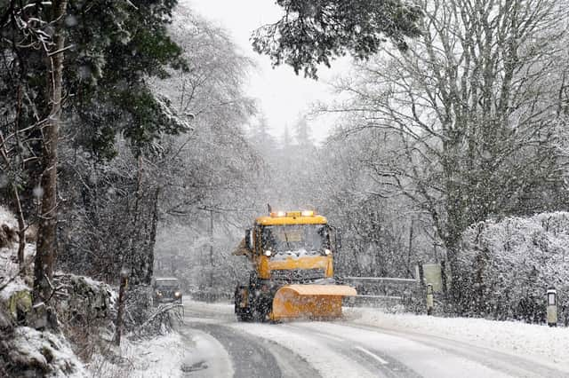

A third warning for snow and ice covering large parts of Scotland, including Stirling, Dundee, Aberdeen and the Orkneys, is in place throughout Tuesday until 3pm on Wednesday. A Fourth yellow warning for the Shetlands comes into force at 6pm on Tuesday and all day on Wednesday.
Continuing the forecast, Alex added: “Increasingly, the snow likely to head further north, potentially affecting Shetland as we go through Tuesday night and into Wednesday. So, another snow warning in place here. And the snow continuing to fall over these eastern parts of Scotland, again, likely to cause some problems.
“And even further south as the rain heads northwards encountering the colder air, there'll be some snow mixed in over northern England and southern Scotland, initially over hills but could come down to lower levels for a time, as it could over North Wales, turning back to rain here though probably by Wednesday morning.
“In the south it should at least turn a little drier as we go through Tuesday night and again most places staying above freezing with some clearer skies - exception to that may be western Scotland.
“Little will change on Wednesday across the north. We continue to feed in the moisture, the cloud, the rain, and the snow into eastern Scotland, and across the Northern isles.
“It'll be a duller, damper day over Northern England, Northern Ireland. Although Northern England may turn a bit drier, it should be a much brighter day though for the Midlands, East Anglia, Southern England, and South Wales.
“And as a result, quite a bit milder as well. I mean, temperatures back to the average really for the time of year. Whereas further north, we're still going to be a couple of degrees lower and feeling cooler with that wind across the far northeast.”