
UK weather forecast: Warnings in place for wind and heavy rain bringing flooding and disruption

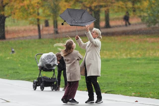
It’s going to be a wet and windy day on Tuesday with weather warnings in place and the threat of flooding and disruption across parts of the UK.
There are several weather alerts in place across the UK on Tuesday (November 11) threatening disruption throughout the day. The Yellow rain warnings cover parts of England, Scotland, Wales and Northern Ireland.
According to the Met Office, a band of rain is continuing its move northeast across eastern areas tonight, with clear spells following behind, allowing some fog patches to develop. However, further rain and strong winds will move into the west later in the night. While it will be a dry and bright start in northern Scotland tomorrow, it will otherwise be a rather cloudy day for many, says the national weather forecaster, with rain most persistent in the north and west while some eastern areas will remain largely dry.
A warning for South Wales including Cardiff and St David's is in place from 7am to 11.59pm with heavy rain expected during Tuesday afternoon and evening which could lead to some flooding and disruption in places. For parts of Scotland, including Glasgow, there is a warning effective from 10am to 11.59pm due to persistent and at times heavy rain throughout the day, leading to a difficult evening commute and flooding in a few places.
In the south west of England a warning is in place from midday to 11.59pm with heavy rain accompanied by strong southerly winds making for difficult driving conditions and the risk of flooding in places across Devon and Cornwall including Truro and Plymouth. Northern Ireland has a warning from 6am to 9pm with more persistent rain, at times heavy, expected, which could lead to some travel disruption and brief flooding of a few places.

Although unsettled, the temperature should feel mild, although that will be short-lived as the outlook for Wednesday to Friday is for it to begin turning colder from the north with strengthening easterly winds. There is also more rain predicted, heaviest in the west.
Looking ahead to the weekend, a spokesperson for the Met Office said: “Many central and northern parts of the UK will likely be in a colder but drier regime than of late with overnight frosts, and a few showers near windward coasts in particular which may be wintry on high ground. However, it could remain cloudier, milder and wetter initially across some southern and southwestern areas, with some uncertainty as to how quickly this clears away to the south.
“It is most likely that the bulk of the UK will experience drier and colder conditions into the first part of next week. Later in the period there is increasing uncertainty, but a trend towards more changeable conditions is possible, with some rain or showers in places, and perhaps some hill snow at times in the north. Temperatures overall may return to near-average.”