UK weather: Met Office extends warning for snow and ice, when will the snow stop?

and live on Freeview channel 276
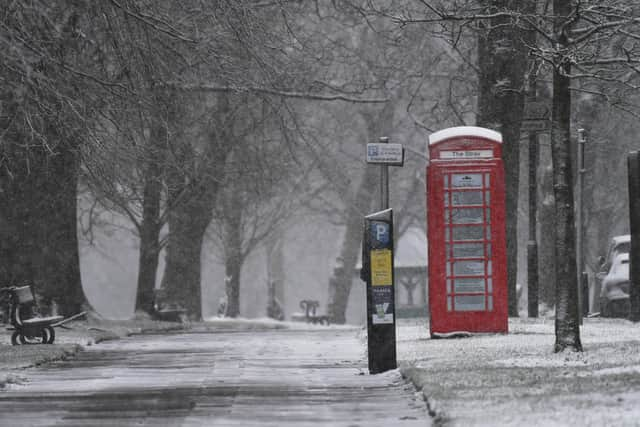
The freezing conditions are set to stick around for longer as more snow is predicted this week, at least until Saturday (February 10), following a fresh yellow warning for snow and ice from the Met Office. The forecasters said the weather warning covers much of Scotland from 3pm to 6pm on Saturday, potentially causing travel disruption and power cuts.
The new weather warning comes after two amber warnings were issued, highlighting the risks of wintry hazards from Wednesday (February 7) until Thursday (February 8), which cover North Wales from 8am until 3pm and the South Pennines and Peak District from noon until 8pm on Thursday.
Advertisement
Hide AdAdvertisement
Hide AdJason Kelly, Met Office Chief Meteorologist, said: “Cold across most areas away from the south of the UK, will be met by moisture-laden air spreading from the south. Where milder air encounters cold air, rain, sleet and snow will develop, bringing the risk of 2-5cm of snow in places, whilst some other areas see little or no snow.
“Over higher ground 5-10cm is likely, while locations above 200m within the Amber warning areas could see up to 25cm of snowfall. Snow here could drift in strong to gale force easterly winds. As the milder air from the south gradually pushes northwards the focus for wintry hazards also shifts northward with warnings issued for Scotland.”

When will the snow stop in the UK?
Thursday (February 8)
Rain, sleet and snow pushes northwards through Thursday. Snow confined to North Wales, Northern Ireland and northern England, mainly on high ground. Snow turning to freezing rain for north Wales bringing icy stretches. Brighter spells and heavy rain further south. Overnight, rain and snow continue to track northwards into Scotland overnight but intensities decrease. A widespread frost expected away from coasts in the north but more rain moves in further south.
Friday (February 9)
Wintry showers continue in the far north. Bands of rain and hill snow across central areas move northwards through the day. Cloudy in the south with some showers, locally heavy.
Largely cloudy on Saturday with some rain in the south, and wintry showers further north. Drier in the east on Sunday with light winds, cloudier in the west.
Comment Guidelines
National World encourages reader discussion on our stories. User feedback, insights and back-and-forth exchanges add a rich layer of context to reporting. Please review our Community Guidelines before commenting.