UK's 'snow bomb' not over yet: Met Office forecasts freezing weekend set to continue

and live on Freeview channel 276
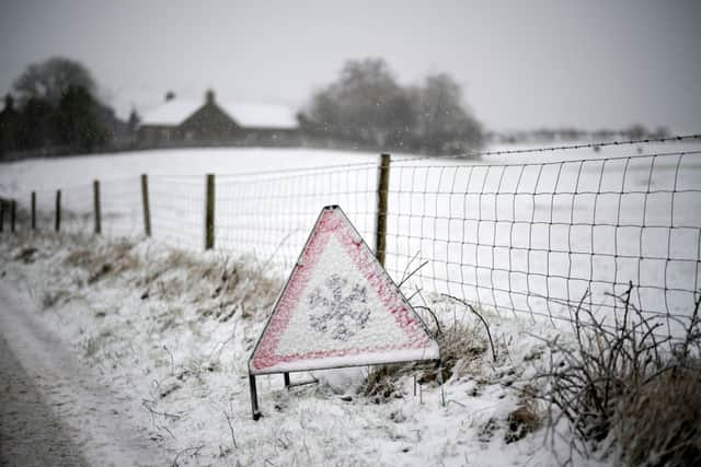
An early morning snowy blast across southwest England is now set to push north, with forecasters warning of another dumping of snow could be on the way.
Cities from Bristol to Hereford had a snowy start to the weekend, after temperatures plummeted overnight Friday in a sudden, brutal cold snap. The snow saw a yellow weather alert issued early Saturday (2 March), as it settled on roads - causing a number in Herefordshire to close briefly, and Gloucestershire police to warn people venturing out were at risk of getting stuck.
Advertisement
Hide AdAdvertisement
Hide AdAlthough the weather warning has abated, forecasters say early March has not yet seen the last of overnight temperatures in the negatives just yet. On top of that, Britain's snow bomb is not quite over, with higher grounds expected to get another pummelling over Saturday night.

Met Office meteorologist Greg Dewhurst said a low pressure system blowing down from the Arctic will keep the cold temperatures coming for the rest of the weekend, and likely into early next week. But he said the good news was that milder air would start to roll across the British Isles by the end of the week, although it may bring with it even more rain - particularly in the west.
"Back to the rest of Saturday, we've got areas of rain, sleet, and snow across England and Wales pushing northwards," he said. Forecasters expected a "covering of snow" over higher ground, but it was unlikely to settle in lower-lying areas, which were more likely to end up with "slushy deposits", Mr Dewhurst added.
The front would blow across Scotland and Northern Ireland later in the evening, and much of the UK will still have temperatures close to "if not below freezing" overnight".
Advertisement
Hide AdAdvertisement
Hide AdHe warned that temperatures may get down to -5C in parts of the countryside."There could be some tricky travelling conditions, especially across central, southern [and] southeastern areas first thing on Sunday morning with fog patches and icy stretches," he continued.
The weekend chill unfortunately won't be the last of it, with Mr Dewhurst saying more weather fronts are set to start pulling in from the Atlantic by late Sunday. "It will be a cold Sunday night into Monday morning, [with] some frost and ice around, but then... we'll start to see the return of temperatures slightly above average for the time of year."
Comment Guidelines
National World encourages reader discussion on our stories. User feedback, insights and back-and-forth exchanges add a rich layer of context to reporting. Please review our Community Guidelines before commenting.