
Sentry: Space-Based AI Surveillance System Can Predict Global Threats Before They Unfold
A powerful new satellite surveillance system is promising to change the way global threats are tracked - by using artificial intelligence to monitor hotspots on land and sea in real time.
Maxar Intelligence, a leading name in geospatial technology, has unveiled Sentry, a groundbreaking AI-powered platform that claims to deliver 'strategic operational and threat intelligence at global scale' - and could give governments and businesses a crucial head start in identifying trouble before it strikes.
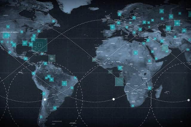

With the ability to monitor hundreds of sensitive sites around the world simultaneously, Sentry fuses data from satellites, machine learning, and decades of imagery to flag suspicious activity – from the movement of ships at sea to unexpected infrastructure changes on land.
The system has already been trialled in support of U.S. intelligence missions, but is now being launched as a commercial product for global use.
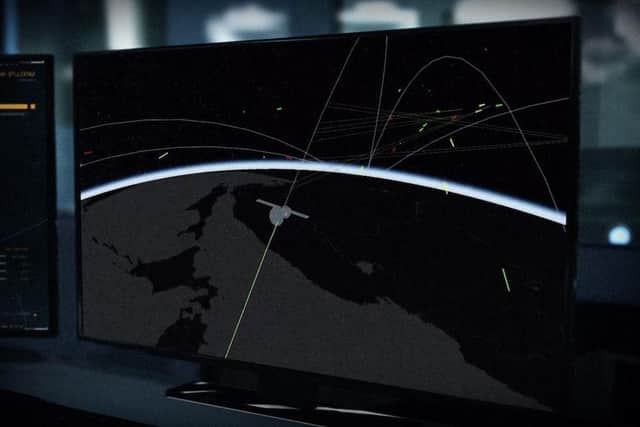
"The world is changing too fast for yesterday’s monitoring systems,» said Dan Smoot, CEO of Maxar Intelligence. "Our customers need to spot threats before they happen—anywhere in the world."
"Sentry uses AI and ML to drive automation across the entire sensor-to-decision system, unlocking sensor integration at a scale that hasn’t been done before. It’s a game changer."
Sentry comes in two specialised forms tailored to different mission sets. Site Sentry is designed to keep a constant watch over locations of strategic interest such as military installations, shipyards, airports, and urban centres. Meanwhile, Maritime Sentry focuses on activity at sea, tracking vessel movement across thousands of square kilometres of ocean and actively monitoring both open waters and ports for unusual patterns.
What sets Sentry apart is its access to Maxar’s vast archive - over 250 petabytes of high-resolution satellite imagery collected over the last 20 years. That historic data, combined with today’s advanced AI models, gives the system a uniquely sharp eye for detecting anomalies and changes that could indicate a threat.

Maxar’s Sentry platform operates on a closed-loop automation system powered by three core technologies. First, a proprietary tasking software automatically integrates scheduling across multiple satellite constellations - both commercial and sovereign - combining electro-optical and synthetic aperture radar (SAR) imagery to drastically expand the number of sites that can be observed in parallel.
Second, Sentry uses Maxar’s automated geospatial production and fusion engine to transform raw data from multiple sensors into a dynamic, fully co-registered representation of the globe, optimised for rapid analysis at scale.
Third, it applies advanced object detection models and integrates third-party systems to identify signals of mission-critical activity, such as the sudden appearance of aircraft, ships, vehicles or structural changes on the ground. These insights are then delivered either through Maxar’s own Insights UI application or directly into a customer’s secure digital environment via API.
Maxar claims that this process - from tasking a satellite to delivering actionable analysis - can now be completed in a matter of hours, offering decision-makers unprecedented real-time visibility from space.
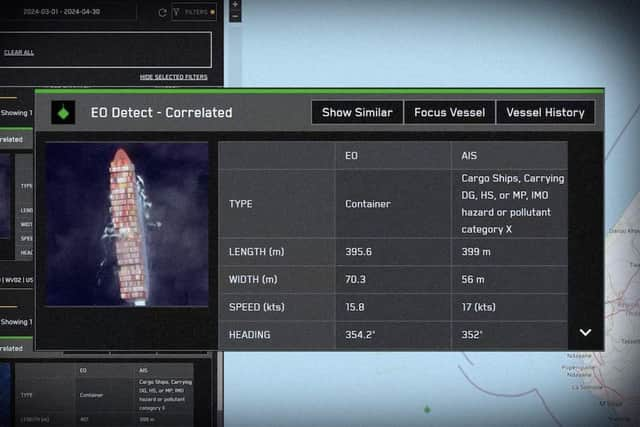
Many of the technologies behind Sentry were proven during Maxar’s work on the National Geospatial-Intelligence Agency’s (NGA) Luno A D01 task order, where geospatial fusion and AI/ML analytics were used to deliver object detections across numerous locations within hours of image acquisition. The system successfully identified aircraft, ships, vehicles and railcars, and provided detailed counts and classifications, laying the foundation for more predictive intelligence tools like Sentry.
Smoot added: "Whether it’s identifying an imminent satellite launch or estimating potential threats to energy infrastructure after a natural disaster, Sentry gives our customers a new level of decision superiority."
Maxar has not confirmed which organisations have already adopted the new system, but industry insiders suggest defence agencies, intelligence services, and operators of critical infrastructure will likely be first in line.