
Council pothole map: Drivers in England to see how councils are tackling roads riddled with potholes through new mapping tool

Drivers in England will be able to see how local authorities are tackling roads riddled with potholes via a new mapping tool and traffic light rating system.
The UK is thought to have more than one million potholes, leading to 25,758 incidents in 2025, according to the RAC. The RAC says damaged roads lead to dozens of serious injuries, accidents and breakdowns every year.
Thirteen local authorities - including Cumberland, Bolton, Kensington and Chelsea, Bedford, West Northamptonshire, North Lincolnshire and Derbyshire - have received a "red" rating based on the condition of their roads and how effectively they are spending government funding to carry out repairs. Essex, Wiltshire, Coventry, Leeds and Darlington are among the councils to be given a green rating on the Department for Transport (DfT) map.
Transport Secretary Heidi Alexander said drivers had been left to pay the price "for too long". She told the BBC's Sunday with Laura Kuenssberg that people were "fed up of driving to work and hitting the same pothole day after day", with drivers paying hundreds of pounds for "needless trips to the garage".
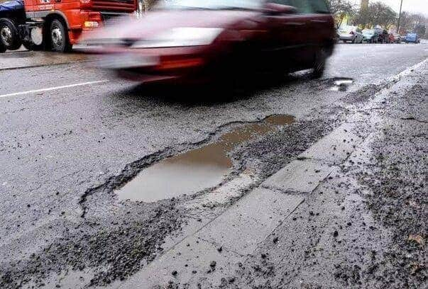

She said the government was giving councils more funding to maintain roads and that it was "absolutely vital that the public has a mechanism to then see what is happening with that money". The government committed £7.3bn in November's Budget to fix roads over the next four years.
The DFT rated 154 local highway authorities as red, amber or green based on road conditions and how well they were using government funds. The vast majority were rated as amber, meaning they were patching up roads and had preventative measures in place but there was still room for improvement.
Derbyshire - once rated the "pothole capital of the UK" - scored the lowest for road maintenance. Councils rated red will receive extra support, including an additional £300,000 each, to help them improve.
The government said that future funding would be "linked to performance" to encourage councils to use "taxpayer money efficiently to repair and maintain their roads before potholes form". Alexander said no data had previously been collected on potholes - nor was there an official definition of one - so the government was gathering data "in a way that hasn't been done before".
She told Sky News the map assessed areas based on three factors - the condition of the road, the level of investment being put in and the extent to which the local authority was "using best practice and providing value for money".