Snow today: what is the UK weather forecast, will it snow in London, Met Office weather warnings - news
and live on Freeview channel 276
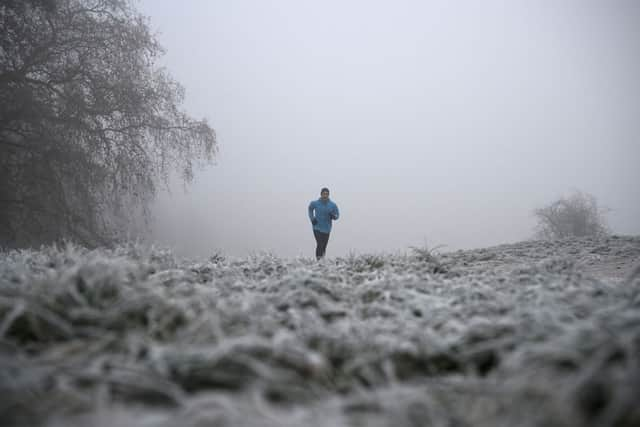
Commuters faced travel chaos on Monday (12 December) morning as large parts of the UK were hit by ice, fog and snow. Due to the icy conditions, the Met Office has issued yellow severe weather alerts.
Sunday (11 December) saw new snowfall in places including Andrewsfield, Essex (9 cm), Charlwood, Surrey (5 cm) and Herstmonceux, East Sussex (4cm).
Advertisement
Hide AdAdvertisement
Hide AdThe worst impacted roads are those in the east and south-east of England, with the M25, the busiest motorway in the UK, closed in both directions between Junctions 23 and 25, leaving motorists trapped for several hours.
A "do not travel" warning has been issued to passengers by Southeastern due to the closure of many rail lines, and services provided by Greater Anglia, South Western Railway and Southern were also severely disrupted.
In Scotland, the UK’s coldest night of the year was recorded, as the Met Office reported that Braemar in Aberdeenshire saw minus 15.7C.
But how long will the cold snap - and the ensuing travel disruption - last? What’s the forecast for today, and when could we start to see warmer temperatures return?
Here is everything you need to know.
What is the weather forecast for 12 December?


Advertisement
Hide AdAdvertisement
Hide AdAccording to the Met Office, the forecast for Monday 12 December and the week currently looks like this:
Today:
Overnight sleet and snow will gradually ease in southeast England. Wintry showers in the north and east, persistent across the Northern Isles, but elsewhere mainly dry and fine. Some freezing fog may be slow to clear in places. Cold.
Tonight:
A few wintry showers continuing across the north and near some eastern coasts. Elsewhere dry with a hard frost once again with freezing fog likely becoming dense and widespread.
Tuesday:
Continuing cold, with frost and fog lingering in places. Otherwise fine, but further wintry showers near exposed coasts, later perhaps into the far southwest. Snow most persistent across northern Scotland.
Outlook for Wednesday to Friday:
Advertisement
Hide AdAdvertisement
Hide AdStaying cold, but often bright, though frost and fog overnight proving slow to clear in places. Increasing threat of outbreaks of rain or snow by the end of the week.
For more information, head to the Met Office’s website.
Where are there weather warnings?
The Met Office has issued a weather warning for ice in eastern and south-east England until 11am on Tuesday (13 December).
There is also a warning for wintry showers in many areas of northern Scotland and parts of north-east England for 48 hours from midday on the same day.
Comment Guidelines
National World encourages reader discussion on our stories. User feedback, insights and back-and-forth exchanges add a rich layer of context to reporting. Please review our Community Guidelines before commenting.
