UK weather: Met Office predicts more snow on the way as nation still grapples with effects of Storm Henk

and live on Freeview channel 276
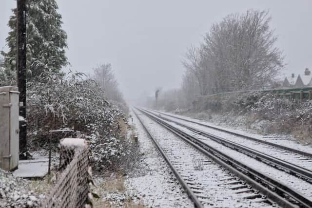
More snow is on its way to Britain after Monday's snowfall, with temperatures set to drop as low -10C, triggering a health alert in some parts of the country. The UK Health Security Agency on Monday (January 8) issued health alerts in amber and yellow throughout England on Friday due to the freezing conditions this week, which could last until February.
UKHSA and the Met Office have upgraded a yellow cold health alert for the North West of England, West Midlands, East Midlands, South East of England and South West of England until 12pm on Friday (January 12) to amber. Meanwhile, a yellow cold health alert remains for the North East of England, Yorkshire and the Humber, East of England and London.
Advertisement
Hide AdAdvertisement
Hide AdMet Office meteorologist Aidan McGivern said: “It is time for something completely different. High pressure will generally be keeping things settled, that is until the end of the week. As we go into the weekend, that high pushes to the west of the UK and a deepening low pressure moving into Scandinavia and we will see a brisk northerly airflow.
“Through the weekend, it is turning colder once again, this time not from the east, but from the north. A cold front sinks south on Friday and will progress southwards through the weekend opening the door to cold Arctic winds that will be cold enough for snow.
"Eventually the colder air pushes across all parts of the country by the end of the weekend and into the start of next week. There is an increased signal for precipitation next week, and if you combine the cold air next week with the signal for precipitation, then it looks like there will be some snow around.”
Meanwhile, more than 100 flood warnings are still in place in England as parts of the country are still feeling the effects of last week's Storm Henk.
Advertisement
Hide AdAdvertisement
Hide AdThe Environment Agency (EA) confirmed that 126 warnings are in place for areas including on the River Thames in Wraysbury, Reading, Slough, Oxford, Salisbury, Cheltenham and Peterborough. Alongside the warnings, 136 flood alerts are in place in many of the same areas, meaning that flooding is possible.
UK 5-day forecast
Tuesday (January 9)
Dry with sunny spells for most, especially across the south which will see long sunny periods. A few wintry showers possible, mainly in the northeast and southwest of England. Feeling cold especially in brisk winds across the south. Overnight, scattered light coastal showers for northeastern England where it will often be cloudy. Dry elsewhere with clear spells leading to a widespread frost, severe in places. Breezy in the south.

Wednesday (January 10)
Remaining mostly dry with sunshine in the south. Cloudy with light rain and drizzle for northern parts, turning wintry over high ground. Staying cold throughout with temperatures below average.
Cloudier into the weekend with temperatures becoming slightly milder than in recent days. By Saturday, northerly winds bring in lower temperatures once again with the risk of wintry showers.
Comment Guidelines
National World encourages reader discussion on our stories. User feedback, insights and back-and-forth exchanges add a rich layer of context to reporting. Please review our Community Guidelines before commenting.