
UK weather: When will the rain stop, is warmer weather set to return, will there be another heatwave?

The record-breaking heat in May in the UK seems like a distant memory.
It wasn’t that long ago, well last month, that many people in the UK were enjoying the warmer weather by having barbecues and generally spending as much time outdoors as possible. The Met Office reported that the “final days of May have brought an exceptional spell of heat to the UK, with widespread impacts on both daytime and night-time temperatures.
“This has resulted in a remarkable number of station records being broken, reflecting not only the intensity of the heat during the day, but also the persistence of unusually warm conditions overnight.”
The Met Office also reported that “one of the most striking values was recorded at Kew Gardens in Greater London, where temperatures reached 35.1°C, exceeding its previous station record of 29.3°C and the previous UK May record of 32.8°C. This reflects the exceptional nature of the heat, with values more typical of mid-summer being observed in late spring.
“Across southern and central England, numerous stations recorded temperatures in excess of 30°C. Counties including Oxfordshire, Surrey, Bedfordshire and Cambridgeshire all saw stations record new maximum records well into the low and mid-30s. In total, 163 stations broke their May maximum temperature records. For example, temperatures reached 33.4°C at Oxford and 33.8°C at Wisley, both surpassing long-established records from the mid-20th century.”
However, the warmer weather has now been replaced by what seems like endless days of rain. The weather forecast for today (Monday June 8) according to the Met Office is again a wet start across England and Wales. However, if you are in Northern Ireland and Scotland you can expect a mix of sunshine and showers, but it will be cool and breezy.
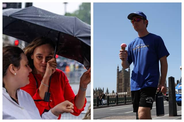

On Tuesday June 9, once again expect sunny spells and showers. However in the north, showers are set to be not only frequent but also heavy and thundery at times. For the time of the day, it will once again feel cool.
When it comes to the weather outlook for later this week, Wednesday to Friday, there will be sunshine and showers on Wednesday and rain pushing eastwards on Thursday, sunshine and showers once again dominate on Friday, however, those of you in the southeast, the weather will turn warmer.
For those of you who are planning further ahead, according to the Met Office, it will remain fairly unsettled between Friday June 12 and Sunday June 21 as Atlantic low pressure systems will be passing to the north and west of the UK. However, on a positive, temperatures could be near or a little above normal overall.
When it comes to the long-range forecast between Monday June 22 and Monday July 6, the Met Office has said: “Much of the period may be relatively settled for most of the UK. High pressure is likely to be in the vicinity of the UK bringing drier than average conditions, especially to the south.
“There will still probably be some showers or longer spells of rain at times though, particularly in the north. Winds will mostly be fairly light, although spells of strong winds are possible at times in the north. Temperatures will probably be a little above normal and it could be very warm or hot at times in the south.”