
When will heatwave end? Met Office 10-day forecast reveals when hot weather will break

As the UK experiences record temperatures, the Met Office 10-day forecast reveals when the heatwave will come to an end.
As the UK struggles amid soaring temperatures, forecasters are predicting when the heatwave will end. The Met Office says a "significant shift" in conditions is coming in the next 10 days, with the current spell of intense heat giving way to "more typical, changeable summer conditions".
However, the next few days are expected to remain "very hot for many", the experts said, particularly across England and Wales. But they said a "transition to cooler and fresher air will gradually take place through the weekend and into next week".
Today (June 25), the Met Office said high pressure remains dominant, allowing temperatures to climb to "exceptional levels".
"Across parts of central and southern England, temperatures are widely expected to reach the mid-30s Celsius, with the potential for highs of 38C or even 39C in some areas," a forecaster said. These values place the UK close to record-breaking territory, highlighting the severity of this early summer heatwave.
"Further north, conditions will also feel notably warm, with highs reaching the high 20s across northern England, southern Scotland and Northern Ireland. However, the far north of Scotland will be somewhat cooler, with some outbreaks of rain at times."
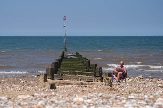

They said humidity was "a key feature" of the recent heat wave, making it "feel even hotter than the raw temperatures alone might suggest". "The combination of heat and high humidity will lead to elevated heat index values across much of the UK, increasing the risk of impacts on health, infrastructure and transport," they said.
In some areas, as the heat builds, the forecasters said there followed an increasing likelihood of thunderstorms, particularly across southern and southwestern parts of the UK. "These could bring frequent lightning, torrential downpours and locally strong winds, with gusts potentially reaching 60 to 65mph," the Met Office went on.
"By Friday, a gradual transition begins. Northern areas, including Scotland and Northern Ireland, will see more persistent rain at times, while much of England and Wales remains hot but starts to see slightly cooler conditions developing from the west. Temperatures will still reach the mid to high 30s in parts of eastern England, where the heat lingers longest."
But into the weekend, starting on Saturday, "fresher air continues to edge in from the west, bringing more cloud, breezier conditions and a scattering of showers, particularly across Scotland and Northern Ireland".
"However, eastern areas, especially southeast England, are likely to hold on to the heat for longer, with temperatures still reaching the low 30s Celsius," the experts added.
"By Sunday, a more marked change will be in place across the UK. The jet stream reasserts itself, allowing Atlantic weather systems to move in more freely. This brings a mix of sunshine and showers for many, along with breezier conditions and a noticeable drop in temperatures. Temperatures on Sunday are expected to range from the high teens and low 20s across much of the UK, with around 27C possible in the southeast. This will feel much more comfortable compared to the preceding days, particularly as humidity levels begin to fall."
Next week would see the "overall pattern" become more changeable, they said, with low pressure systems moving towards the UK, bringing outbreaks of rain and showers at times. "At the same time, there may be some attempts for higher pressure to build from the south west, bringing occasional drier and brighter spells, especially in the south," the forecaster added.
"However, this is unlikely to fully dominate, and a north-south contrast is expected, with wetter and windier conditions more frequent further north. This pattern represents a return to more typical UK summer conditions, with a mix of sunshine and showers rather than prolonged hot and settled weather."
Temperatures will fall back closer to average for the time of year as the new weather pattern becomes established, they said, while there may still be some warm spells, particularly in the south.
"Overall, the next 10 days will see a transition from intense heat and humidity to more balanced summer conditions, with fresher air, occasional rainfall, and a more variable outlook for all parts of the UK," they added.