
Manchester and Liverpool weather: Forecast as Storm Benjamin set to hit UK

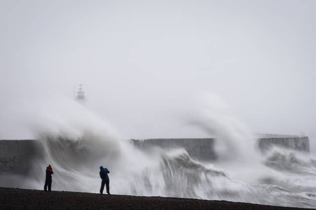

Storm Benjamin will be heading to our shores from France - he’s not one of the Met Office’s named storms, as the B for this year is Bram.
Benjamin has named by Meteo France as he will be heading to the UK from the continent. He may well be designated as a UK storm, though. Despite settled weather across the south today - which so far has been a lot drier and brighter than the early part of this week, these isles are set to get a battering on Thursday with downpours and fierce winds of more than 70mph, forecasters believe.
There are three yellow weather warnings over possible disruption, flooding, power cuts and damage to buildings for Thursday.
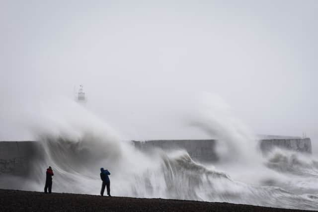
The first is a yellow warning for rain which covers most of southern England, the East Midlands, parts of Wales and Yorkshire, and is in place tomorrow until 9pm. These areas can expect rain to start building from tonight, with up to 2in (50mm) by the morning.
A separate warning for wind on Thursday is in place from 9am until 11.59pm, covering the east of England from Brighton to Scarborough, and gusts of up to 55mph are expected, with up to 65mph on the coasts.
And a third yellow alert is for wind and covers the south west of England and parts of west Wales, including Somerset, Devon, Cornwall, Swansea and Pembrokeshire. Gusts of up to 45mph are expected widely within this area, while winds of up to 60mph could be reached along exposed coasts and headlands, according to the forecaster.
The north west of England, including Manchester, Liverpool and Cheshire, Lancashire and Cumbria have escaped the warnings. There is rain forecast for tomorrow but there are also sunny spells among the cloud. However, the north west has not definitely escaped yet.
Met Office deputy chief meteorologist Dan Harris said: “It is worth noting that there is a greater than usual uncertainty surrounding the track and intensity of this low-pressure system. So the public should stay up to date with the latest forecasts and warnings as the situation evolves, with adjustments to the forecasts likely at short notice.”