
Met Office forecast: Spring-like weather expected this week with showers, sunny spells, and cold mornings

The UK is set to experience some spring-like conditions throughout the week, the Met Office has said.
According to meteorologist Alex Burkill, there will be a combination of showers, sunny spells, and colder mornings as Spring officially starts on March 1, at least on the meteorologist calendar.
He said: “Monday night into Tuesday, not a huge amount going on if we look at the bigger picture, but there is an occluded front pushing into parts of the northwest into Tuesday morning, and it’s here that we’re going to see some fairly frequent showers from the start on Tuesday.”
On Tuesday, much of the northwest will see frequent showers from the morning, while southern and eastern areas will enjoy a drier and brighter start. As the day progresses, showers are expected to become widespread, although areas in the southeast have a greater chance of staying dry.
There will be sunny spells between the showers, but some of the rainfall could be heavy, with the possibility of hail and thunder, particularly in northwestern regions. Over the hills and mountains of Scotland, sleet or snow may also appear.
Despite the mixed conditions, temperatures will remain around or slightly above average. According to the Met Office, southern areas will see highs in the low double digits while the northern areas will reach the high single figures at best.
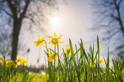

As Tuesday night progresses, showers will begin to fade, leading to a chilly start on Wednesday, particularly in the east. Further west, cloud cover will increase, and winds will strengthen as wet weather moves in. Mr Burkill added: “There could be some murkiness, some mist and fog across eastern parts first thing, but this should clear in the morning.”
Temperatures will be slightly lower than Tuesday, with highs just about reaching double digits in the south. The weather system moving in on Wednesday is expected to clear towards the east and southeast, with a ridge of high pressure following, bringing quieter weather - although rainfall may linger longer than expected.
Thursday is likely to be a dry day for most areas, with high single-digit temperatures in the north and scraping double digits in the south.
By Friday, high pressure will dominate, bringing calmer and cooler weather. The day will start off chilly, with some frost expected in the morning. Freezing fog may take some time to clear, but temperatures will eventually reach highs of 10-11C in the warmest areas.
Over the weekend, another spell of rain is expected. On Saturday, a band of rain will move across the southeast, while other areas are expected to remain dry and fine. By Sunday, wet and windy conditions will return to the northwest, while the rest of the UK is likely to stay relatively settled.