
UK snow forecast: Monday night risk as colder air meets rain

Monday night could bring snow to parts of the UK as rain meets colder northern air, but widespread settling snow looks unlikely and the forecast remains uncertain
Forecasters are watching a pattern develop that could bring some areas their first snow of the season on Monday night - but there are important caveats.
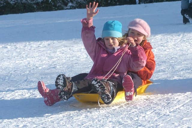

The current run of cold, clear conditions is due to come to an brief halt after Sunday, and we move into a more unsettled phase, but with colder air still arriving from the north, there's a recipe for snow.
There's still plenty of uncertainty over the detail, but there are signals that some areas could see snow falling overnight on Monday, into Tuesday morning - and not maybe not just on the hills.
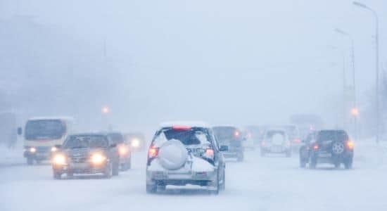
Will we wake up to a blanket of blanket of snow on Tuesday morning?
Unless you're in a bleak hillside in the Pennines, probably not. And even then, it's so early in the season there's more likely to be a mix of sleet and wet snow than anything sustained and heavy.
At lower levels, there's hardly any chance of it settling, even if we do see flakes. Wet snow or sleet is currently the more likely outcome, and not for very long. Most areas of the country will miss out on the excitement altogether.
It's important to add that forecasting snow is a complex pursuit, and there are so many factors that can come into play. At this range, it's pretty much a guessing game, but we'll know more about the detail with each model run.
What about temperatures? Any milder conditions on the horizon?
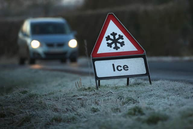
The current cold weather, with temperatures below freezing overnight, will recover a little over the weekend, but the frost risk and low daytime temperatures remain, so we're still in a bit of a cold spell.
Next week's weather is something of a complex and unsettled mess, so it's hard to pin down any detail, but it will be cold, there will be showers, there should be some sunny spells, and it could be breezy at times.
What is next weekend looking like?
The unsettled outlook is causing plenty of uncertainty in the longer-range forecasts, but there are hints that a quieter weekend could be on the cards, at least to start with.
There's also a chance of a more unsettled, perhaps even stormy spell developing by Sunday - but it's a fair way off.
What about the polar vortex we keen hearing about?
There are some important developments in the stratosphere at the moment, and they could influence our weather, but there's just as much chance they won't.
Some models are point at a blocking pattern emerging by the end of November or early December, and this is a viable route to a cold snap, or even potentially a vicious easterly blast of cold air, but we're too far away to know for sure, so any headlines promising a whiteout in weeks are clutching at more than a few straws.