UK weather: Met Office warns of disruption and damage as thunderstorms to hit
and live on Freeview channel 276
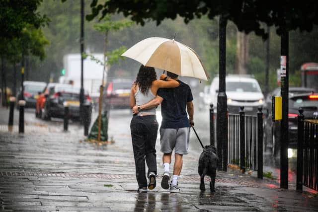
Forecasters have issued a weather warning for thunderstorms across parts of the UK.
The Met Office has a yellow warning in place from 8pm on Sunday (4 September) until 4am on Monday (5 September), with the weather potentially causing some localised disruption.
Advertisement
Hide AdAdvertisement
Hide AdFlooding of homes and businesses is possible, and there could be delays to train services.
Here is all you need to know:
Where is the warning in force for?
The warning covers London and south-east England, south-west England, most of Northern Ireland, large parts of Wales, east of England, Northamptonshire and Warwickshire.
What time does the warning come into force?
The yellow weather warning will come into place at 8pm.
The Met Office has issued it until 4am on Monday.

What has the Met Office said?
Forecasters warn there is a good chance driving conditions will be affected by spray or hail, and there will probably be some damage to buildings and structures from lightning strikes and gusty winds.
It is feared that ome short-term loss of power and other services is also possible.
Advertisement
Hide AdAdvertisement
Hide AdThe Met Office said the heavy showers and thunderstorms are expected to develop across south-west England on Sunday and move north across parts of Wales and Northern Ireland.
They are expected to clear during the early hours of Monday.
A separate area of thunderstorms is likely to develop across central southern England in the late evening, moving north into the midlands overnight.
A few places may see 20mm to 30mm fall in less than an hour, while other places may not see much rainfall at all.
Advertisement
Hide AdAdvertisement
Hide AdForecasters said frequent lightning, hail and local gusty winds may accompany stronger thunderstorms, particularly across south-western parts of England and Wales.
What does the weather warning say?
On its website, the Met Office says: “Heavy showers and thunderstorms are expected to develop across southwest England on Sunday evening and move north across parts of Wales and Northern Ireland, clearing during the early hours of Monday morning.
“A separate area of thunderstorms is likely to develop across central southern England late evening, moving north into the Midlands overnight.
“Whilst some places may not see much rainfall, a few places may see 20-30 mm fall in under an hour.
Advertisement
Hide AdAdvertisement
Hide Ad“Frequent lightning, hail and locally gusty winds are additional hazards that may accompany stronger thunderstorms, particularly across southwestern parts of England and Wales.”
How can you stay safe in thunderstorms?
On its website, the Met Office explains: “Telephone lines can conduct electricity so try to avoid using the landline, unless in an emergency.
“If outside avoid water and find a low-lying open place that is a safe distance from trees, poles or metal objects/
“Avoid activities such as golf, rod fishing or boating on a lake.
Advertisement
Hide AdAdvertisement
Hide Ad“Be aware of metal objects that can conduct or attract lightning, including golf clubs, golf buggies, fishing rods, umbrellas, motorbikes, bicycles, wheelchairs, mobility scooters, pushchairs, wire fencing and rails. If you are in a tent, try to stay away from the metal poles.”
The warning continues: “If you find yourself in an exposed location it may be advisable to squat close to the ground, with hands on knees and with head tucked between them. Try to touch as little of the ground with your body as possible, do not lie down on the ground.
“If you feel your hair stand on end, drop to the above position immediately.”
Comment Guidelines
National World encourages reader discussion on our stories. User feedback, insights and back-and-forth exchanges add a rich layer of context to reporting. Please review our Community Guidelines before commenting.