
Hurricane Erin UK weather: Met Office warns 'unsettled and windy' weather on the way as low pressure to hit in days time as a result of storm

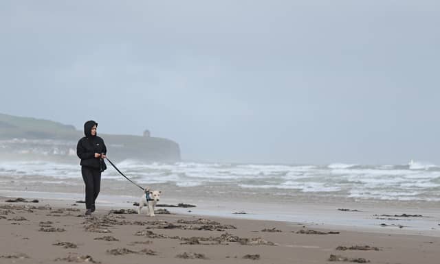

The Met Office has warned that “unsettled and windy” weather will hit the UK in the coming days as a result of Hurricane Erin.
A deep area of low pressure is reportedly barreling towards the UK. Downpours and gales are expected on or around Wednesday August 27, two days after our Summer Bank Holiday, as the remnants of Hurricane Erin reach the UK.
The Southwest of England and south Wales are anticipated to be worst hit by the weather, which forecasters say will mark an "unsettled and windy end to summer". Maps issued by meteorologists at Metdesk, show rain is to arrive across Southwest of England by Wednesday afternoon and work northeastwards throughout the evening.
Showers will be widespread by Thursday morning, and will be slow moving despite a strong southwesterly wind. Nick Finnis, meteorologist with NetWeather, wrote on the site's blog: "The strong jet stream will carry a deep area of low pressure, containing the remnants of Erin, across the North Atlantic towards Europe next week.
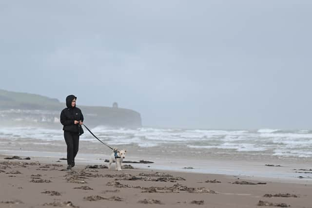
“Wherever the remnants of ex-Hurricane Erin end up, it will have already significantly strengthened the jet stream across the NW Atlantic then downstream towards western Europe, so an unsettled and windy end to summer looks likely." The heaviest of the rainfall, projected to be throughout Wednesday night and into Thursday morning, will be across Bristol and Somerset. More than 11mm will lash across this area in just a few hours, the weather maps on website Ventusky show.
But the storms will be particularly violent across Dorset, especially around rural parts of the west of the county. It will be rainy during rush-hour on Thursday as far east as the capital and drizzle will linger as far north as Hull by mid-morning, forecasters understand.
In relation to the period of Monday August 25 to Wednesday September 3, the Met Office's website reads: "Skies may become generally cloudier, and there is an increasing chance of outbreaks of rain and showers. Any precipitation would be initially across the southwestern half of the UK, and possibly spreading further north and east at times."