
Storm Erin path: Where will hurricane hit this week and when is it likely to affect UK - latest forecast and projections

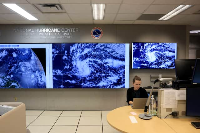
Hurricane Erin is now a Category 4 storm churning in the Atlantic.
It threatens to drive life-threatening rip currents and towering waves toward the eastern US coastline and Bermuda. The storm is forecast to stay well offshore, but its expansive wind field is already sending large swells outward for hundreds of miles, bringing dangerous rip currents to US shores as the storm prepares to move north.
Erin’s outer rain bands have lashed Puerto Rico, triggering flash flooding and power outages, and started impacting the southeast Bahamas and the Turks and Caicos Islands early Monday, according to the National Hurricane Center. Large swells from the hurricane will reach much of the East Coast and Bermuda starting Tuesday, with conditions expected to worsen through midweek.
Erin is forecast to curve north-northeast between the US East Coast and Bermuda over the coming days, remaining offshore but strengthening again and growing even larger in size. That means its influence will be felt not through direct landfall, but through water: large, pounding surf, dangerous currents and coastal flooding during high tides.

Elsewhere along the US East Coast, from South Carolina to the Delmarva Peninsula and New Jersey shore, the rip current risk will climb sharply Tuesday through Thursday – even under sunny skies. Erin’s impact began over the weekend, when it logged one of the fastest intensification bursts on record in the Atlantic.
In just over a day, the storm jumped from tropical-storm strength to Category 5, peaking near 165 mph on Saturday as it feasted on exceptionally warm water and favorable atmospheric conditions.
Will Storm Erin hit the UK?
The Met Office has warned that the UK is likely to be affected by Hurricane Erin as the powerful storm passes over the Americas. Forecasters said that the weather in Britain will see a change over the upcoming summer bank holiday weekend.
Its impact will spell a potentially "wetter and windier" end to the school summer holidays. The Met Office said: "In a depression (low pressure), air is rising and blows in an anticlockwise direction around the low (in the northern hemisphere). As it rises and cools, water vapour condenses to form clouds and perhaps precipitation.
“This is why the weather in a depression is often unsettled, there are usually weather fronts associated with depressions”. The UK Met Office said of the period beginning on Friday, August 22: "This [fine and dry weather] will be increasingly eroded from the west as frontal systems start to move in from the Atlantic through the weekend, leading to more changeable conditions. A deep area of low pressure is likely to develop in the North Atlantic, linked to Hurricane Erin."
Looking ahead to September, while forecasters have noted that confidence is low regarding details of the weather for next month, more unsettled or changeable weather due to low pressure "looks more likely". This is expected to bring the potential for periods of stronger winds, though temperatures are set to be near or slightly above average overall.