
UK 600 mile rainstorm: When is it set to hit and which 8 counties will avoid it?

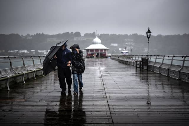

The UK enjoyed its fifth warmest July on record in 2025, but things might be about to change.
According to the Met Office, the weather forecast for Sunday August 17 is that it will be cloudier in the east and brighter further west. The Met Office reported that “Low cloud in the east gradually clearing, though lingering near some North Sea coasts. Plenty of sunshine elsewhere, but skies slightly hazy at times. Strong, gusty winds across the far southwest. Very warm in the sunshine, fresher where cloud persists.”
When it comes to tonight, expect clear spells in the west. However, if you are in eastern or central areas, there will be occasional drizzle as low cloud returns. For those of you living in the southwest, expect gusty conditions, particularly around the Moors.
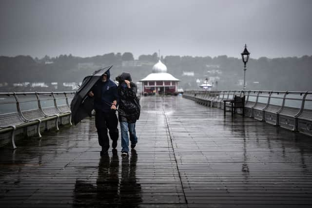
If you are already thinking about August bank holiday weekend and planning a barbecue, you may want to rethink your plans. At the time of writing, The Met Office has reported that “The final week of August may see Atlantic weather systems progress over the UK, especially in the north and west, with a small chance of widely wetter and windier weather developing. The evolution of this is highly uncertain though.”
When is the UK 600 mile rainstorm set to hit?
The UK 600 mile rainstorm looks to begin on August 27 and the areas that are set to be hardest hit are southern Scotland and the East Midlands. However, according to WXC Charts weather maps, there are some areas that will miss out on the wet weather and these are Aberdeenshire, Somerset, Middlesex, Kent, Essex, Suffolk, Norfolk and Cambridgeshire.
Only four days ago, the Met Office issued yellow thunderstorm warnings. Yellow weather warnings were put in place in Aberdeenshire, Somerset, Middlesex, Kent, Essex, Suffolk, Norfolk and Cambridgeshire.