Snow forecast UK: Met Office issues yellow weather warning as 'wintry showers' on the way - full list of affected regions

and live on Freeview channel 276
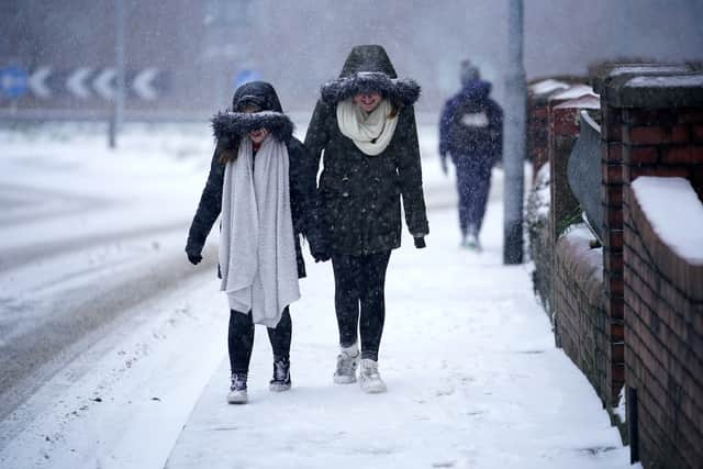
The Met Office has issued a new yellow weather warning as “scattered sleet and snow showers” are expected to hit parts of the UK. The yellow warning for ice comes into force at 4am tomorrow (Monday 8 January) and expires at 10am.
The Met Office warns that there will be “icy patches” and “wintry showers” in the morning that could lead to “slower journeys”. It warned that a “few of the snow showers could turn quite heavy” with some places seeing 1-3cm of snow, mainly over the north Downs and on grassy surfaces.
Advertisement
Hide AdAdvertisement
Hide AdThe forecaster said: “A mix of sleet and snow showers will move in from the east later on Sunday night along with temperatures near zero. Given these wintry showers, and also wet surfaces after recent wet weather, some icy patches are likely on untreated surfaces.
“Keep yourself and your family safe when it is icy, or small amounts of snow have fallen. Plan to leave the house at least five minutes earlier than normal. Not needing to rush, reduces your risk of accidents, slips, and falls.”

The regions affected are East Sussex, Greater London, Kent, Surrey and West Sussex. It comes after an amber cold health alert has been issued for the North West, East Midlands, West Midlands and South West which is in place until Friday 12 January. A yellow cold-health alert remains for the North East, Yorkshire and the Humber, East of England, London and South East for most of next week.
In its latest snow update the Met Office said temperatures could fall so low that snow could fall on around Tuesday 16 January. The forecaster's long-range weather prediction for the UK details how there is a potential for "significant snow" during the middle of this month. The forecast for January 11 to January 20 predicts the air will likely get colder with "snow showers" across the UK.
Advertisement
Hide AdAdvertisement
Hide AdMet Office chief forecaster Jason Kelly said: “The transition to lower temperatures will be noticeable over the weekend. It will become rather cold next week with lower-than-average temperatures across much of the UK, accentuated by brisk easterly winds in the south.”
Comment Guidelines
National World encourages reader discussion on our stories. User feedback, insights and back-and-forth exchanges add a rich layer of context to reporting. Please review our Community Guidelines before commenting.