UK weather: Flooding to continue for five more days as temperatures plummet - latest Met Office snow forecast

and live on Freeview channel 276
The flooding chaos will continue for five more days with more properties expected to be ruined, the Environment Agency (EA) has warned. More than 1,800 properties have already flooded after prolonged wet weather and intense rainfall, the agency said, with the impact of high water levels likely to continue over the coming day particularly around the rivers Trent, Severn and Thames.
The agency said buildings “will flood and there will be travel disruption” during that time period and local groundwater flooding is also possible in the South of England, Yorkshire and the Humber. This morning (Sunday 7 January) there are 192 flood warnings and 207 flood alerts in place in England with one warning in Wales at Tendy.
Advertisement
Hide AdAdvertisement
Hide AdKatharine Smith, flood duty manager at the Environment Agency, said: “Significant river flooding impacts are still expected… over the next few days across parts of the River Thames in Oxfordshire as well as the River Trent near Nottingham, and the River Severn, including Gloucester. The prolonged wet weather and intense rainfall has led to flooding impacts and our thoughts are with all of those affected.”
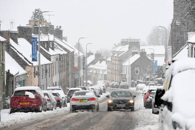
Despite the expected continued flooding impacts, weather conditions are set to turn next week with temperatures plummeting to below freezing. The UK Health Security Agency has issued a yellow cold weather alert for the vulnerable and elderly from 9am on Saturday until noon on 12 January with temperatures likely to be a few degrees below average across much of the UK.

Met Office chief forecaster Jason Kelly said: “As the prevailing weather conditions will be characterised by high pressure, a good deal of settled weather is likely. Clearer skies and a marked reduction in precipitation are expected, although any showers that do occur are likely to be wintry in nature.”
Sunday is forecast to remain largely dry, except for the occasional shower in southeast England early in the day with the cold weather continuing for much of the next week. According to weather forecast data viewer WXCharts, wintry weather is set to move in from the northwest on 14 January with up to 6 cm of snowfall per hour set to hit central and northern England and Wales.
Advertisement
Hide AdAdvertisement
Hide AdIn its latest snow update the Met Office said temperatures could fall so low that snow could fall on around Tuesday 16 January. The forecaster's long-range weather prediction for the UK details how there is a potential for "significant snow" during the middle of this month. The forecast for January 11 to January 20 predicts the air will likely get colder with "snow showers" across the UK.
Mr Kelly added: “The transition to lower temperatures will be noticeable over the weekend. It will become rather cold next week with lower-than-average temperatures across much of the UK, accentuated by brisk easterly winds in the south.”
Comment Guidelines
National World encourages reader discussion on our stories. User feedback, insights and back-and-forth exchanges add a rich layer of context to reporting. Please review our Community Guidelines before commenting.