
UK snow: Which areas will wake up to a covering tomorrow?

A yellow snow warning covers parts of northern and central Britain overnight into Tuesday, with possible disruption on higher routes. But many lower areas could see rain or only a brief wintry mix
The first widespread snow event of the year is due to happen overnight and into Tuesday morning, with a yellow Met Office warning in place for large swathes of the UK.
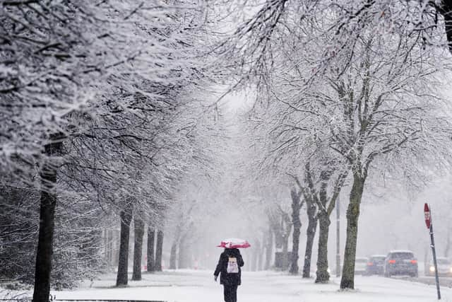

The forecaster has said snow may cause disruption on high ground during Tuesday morning, and this could mean some roads and railways are likely to be affected with longer journey times by road, bus, and train services.
The Met Office has also warned that there is a small chance of power outages or degradation of mobile phone service during the warning period, which stretches from midnight until noon tomorrow.
Which areas will be affected?
This is the important bit, because it's not as if all areas will see snow, or even sleety rain, because the warning is confined mostly to the north of England at this stage.
The Met Office has issued the warning across the Pennines, parts of the north east and north west, and up to the Scottish borders.
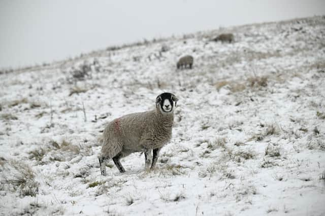
The warning zone does reach down as far as North Staffordshire and Derbyshire, and into the East Midlands, but it's more likely the hills will be affected in these areas.
This doesn't mean localities further south of here will see no snow, it's possible parts of North Wales and the Shropshire hills, for example, could see at least a wintry mix, but the areas to watch are over high ground in the peaks, Pennines, and Cumbria.
What does the forecast say about timings and accumulations?
Assuming you're in an area that does get affected by snow, the forecasts are suggesting that rain could turn to snow across the Peak District, Yorkshire Dales, Pennines, Cumbrian Fells and Southern Uplands by around midnight. Welsh mountain tops could also see snow falling during the early hours.
As Tuesday morning progresses, the band is set to move north, bringing snow potential to higher ground in central Scotland.
Lower levels could be affected by temporary sleet or wet snow on the leading edge of the band, potentially settling briefly, but it will turn to rain.
Gales are possible around the Irish Sea and Scotland’s west coast, to accompany the snow, but milder air follows, particularly for the south, with Tuesday's top temperatures potentially reaching 13–14C.
Will the snow stick around?
It's important to bear in mind it's only mid-November, so while snow events are not unlikely, they tend to be far less significant.
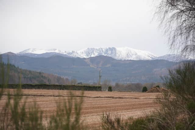
This time the snow is forming over high ground from a prolonged spell of rain, so for most areas any accumulations will get washed away.
The hill snow in some of the more mountainous regions could remain for a short while, but this is not going to be one of those snow days where we all ditch the school books and laptops and dig out the sledges.