
White Christmas under threat as forecasts predict six weeks of rain and storms

The longer-range charts make uncomfortable viewing if you’re hoping for Christmas snow. But Atlantic storms and changes high above the Arctic could still reshape the outlook, while a wet winter could bring much-needed relief from drought
The weather charts this morning are painting something of a grim picture, it's fair to say. After a dry start to November, a predicted swing back to more unsettled, even stormy weather to take us into late December now looks increasingly certain.
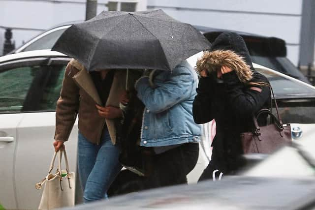

According to all the major models we're facing low pressure domination from early next week, and low pressure means rain, wind, milder temperatures, and even storms.
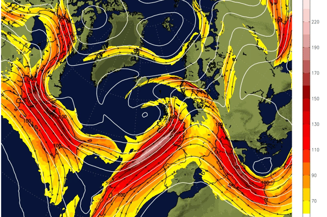
Until now, the UK has been beneath a broad ridge of high pressure, with the jet stream meandering farther north keeping us in calm, dry conditions by keeping the most active Atlantic systems away, leaving us with light winds, trapped moisture, and all that fog.
That ridge is now becoming less well defined and the high is moving away from us. As it retreats, weather systems that were being kept away can move closer, bringing fronts, rain and stronger winds.
How does this affect Christmas?
The reality is, it's far too early to say. Bookies are still offering fairly conservative odds for a White Christmas, but that's perfectly normal at this stage, and there isn't a forecast model in the world that's clever enough to tell you what the weather will be doing where you live on December 25 when we're still in early November.
What we can see, as of this morning at least, is a broad agreement, across all the model suites, that low pressure will stay in charge for the foreseeable future, and foreseeable for these complex algorithms essentially means up to around December 23.
Currently, they're saying low pressure should still be in charge around that time, which is a fairly grim outlook if you want snow - but lots could change, so it's not locked in by any stretch.
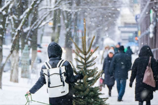
Don't write the festive season off just yet, there are plenty of ways the long-term outlook could change
While the likelihood remains that the rest of November and at least some of December will be mild, wet, and windy, there's absolutely nothing set in stone, and there are other factors that could change the forecast substantially.
Sudden Stratospheric Warming
This week we're going to see a sudden warming in the stratosphere. It's going to be the earliest on record, and it's going to be quite a significant one.
These can affect our weather by disrupting a broad band of strong winds that circles a pool of very cold air high above the Arctic called the Polar Vortex.
This matters to us in the UK because it can then go on to disrupt our jet stream, and our jet stream is what dictates the conditions we'll see on the ground from day to day.
It's worth noting that the models have taken this Sudden Stratospheric Warming into account, but the effects on the UK - if we get any at all - are hard to predict, and we could have a curve ball thrown our way.
Atlantic storms
Because we're so reliant on the jet stream, it's important to look at what can influence its position. Because its position in relation to the UK can be the difference between a deep freeze lasting weeks, and a month of stormy weather.
At this time of year, we're in the storm season many miles away in the Atlantic, and even though they're a long way away from affecting us directly, they could influence the jet stream.
And this is one of the many reasons why long-term forecasting is such a dark art. While the computers can predict storms developing, and roughly how they'll take shape, the effects they have on other part of the planet are always going to be harder to predict.
In an ideal scenario, we'd want a storm to change the jet stream's position enough to build a strong ridge and block weather systems from approaching.
But the jet stream can also act as a conveyor belt, funnelling these low pressure systems (or what remains of them) straight at us.
Of course, the models will account for this, but there's only so much they can "see" at this early stage.
Why a grim outlook for the UK might actually be the best outlook for the UK
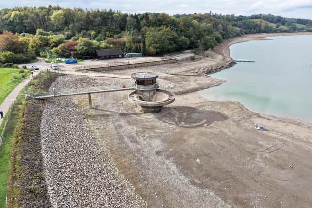
As we're repeatedly being told, we’ve had an incredibly dry summer, and Autumn hasn't exactly given us a deluge either. This might feel like the perfect conditions for those of us who love the great outdoors, but it's really not good news in the grand scheme of things.
We're still dealing with a substantial water shortage, with England's current reservoir storage at just 60.1%, with eight reservoirs or reservoir groups remaining "exceptionally low". Parts of Cornwall, Devon, Dorset, Somerset, and Sussex are still in "severe drought".
Droughts impact us in lots of ways, but it could start to hit us in the pocket, as it becomes harder to produce food, which makes our weekly shop more expensive.
The Environment Agency currently says England needs at least 120% of average rainfall over the next six months for the entire country to be out of drought by spring.
This varies from region to region, of course, and some areas are already in recovery, but spare a thought for the farmers and growers who will be delighted to see a wet spell.
An unsettled winter might feel miserable above ground, but it'll be doing essential repair work below it. It could leave us much better prepared for next summer.
So we shouldn't write a white Christmas off just yet?
Absolutely not. As we've just explored, there are plenty of ways the outlook can change significantly, so nothing is certain. And the very nature of an unsettled pattern is unpredictability, so if you see headlines foretelling of anything extreme for the festive season, just ignore them.
Remember, the official Met Office classification for a white Christmas is one snowflake falling anywhere in the UK during any part of the 24-hour period on December 25.
So technically, it's still very likely. The likelihood of waking up to a Dickensian scene in the middle of Swindon certainly looks less likely, but that's nothing unusual for late December anyway.
For now, we just need to watch the forecasts and wait for better news. And perhaps drag the rain coat and wellies out of storage. You're definitely going to need them next week.