
Is Storm Amy coming? Met Office issues wind weather warning with gales, thunderstorms and heavy rain on the way

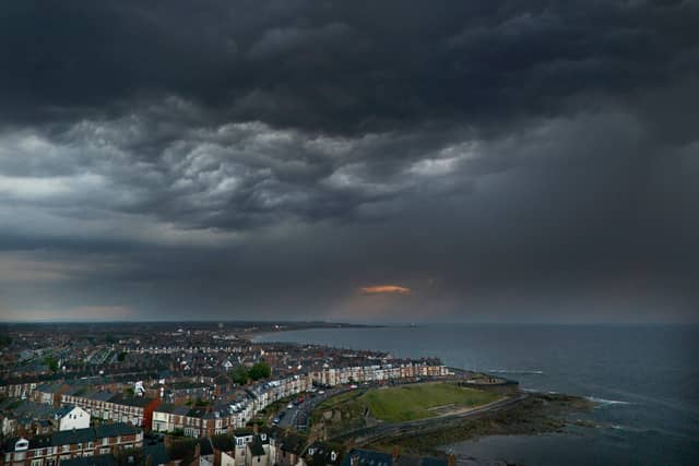

Batten down the hatches as the Met Office issues a weather warning with gales, thunderstorms and heavy rain on the way.
Concerns are rising that Storm Amy could arrive over the weekend as the Met Office issues a weather warning covering most of the UK. Yet more unsettled weather is on the cards with the forecast for the coming week warning of gales, thunderstorms, and periods of heavy rain, interspersed with occasional spells of sunshine.
Friday and Saturday are predicted to bring some ‘calm before the storm’ as an area of low pressure which has brought strong winds and rain, especially to northwest Scotland, will continue to pull away northwards, bringing less windy and showery conditions. A Met Office spokesperson said: “Friday night will see some clear spells, but with showers or longer spells of rain [in] the west moving east accompanied by some locally strong winds.”
The national weather service says for many, Saturday will be the better day of the weekend, experiencing a “transient ridge of high pressure”. However, forecasters do add that sunny spells will be punctuated by “heavy and locally thundery showers” which will move eastward during the day.
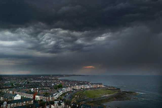
Weather warning for wind
The worst of the weather is predicted to arrive on Sunday night and into Monday where the Met Office say “the most intense period of weather” will arrive. An updated yellow weather warning for wind extends across Wales and all but the far north of England.
A spokesperson said: “Most of England and all of Wales will be affected by strong winds from Sunday evening through to late afternoon on Monday. A yellow weather warning is in place.”
Met Office Deputy Chief Meteorologist Stephen Kocher said: “Strong west or southwesterly winds will arrive across coastal areas of southwest England and Wales during Sunday evening, spreading inland and eastwards during Monday morning. Gusts of 45-55 mph are expected widely in inland areas, while gusts of 60-70 mph are possible at times along exposed coasts and hills.”
Storm Amy this weekend?
The Met Office has not currently labelled the weather warning as an official ‘storm’, however, they are ‘keeping an eye’ on the situation. They say the area of low pressure bringing the unsettled weather is not thought - at the moment - to bring widespread impacts enough to be named by either Met Eireann or the Met Office.
Earlier this week, Deputy Chief Meteorologist Tom Crabtree said: “We are keeping an eye on a deepening area of low-pressure which will develop over the North Atlantic during the coming days and might bring impactful weather to the UK, most likely on Sunday and Monday.
“At present, it’s too early to say the precise impact this might have on the weather, but it’s likely to bring widespread heavy rain and strong winds, most probably to the north of the UK. We are closely monitoring what the various computer models are suggesting and will keep people updated as our forecasts evolve over the next few days.”
Areas of low pressure are named by either the Met Office, Met Eireann or KNMI - the Netherlands weather service - if the impacts are expected to be significant. The latest list of storm names were released in early September with Amy, Bram and Chandra being the first three named storms.