
Is Bali at risk of tsunami? How far is it from Hawaii, where is it located - is destination safe after huge earthquake hits off Russia

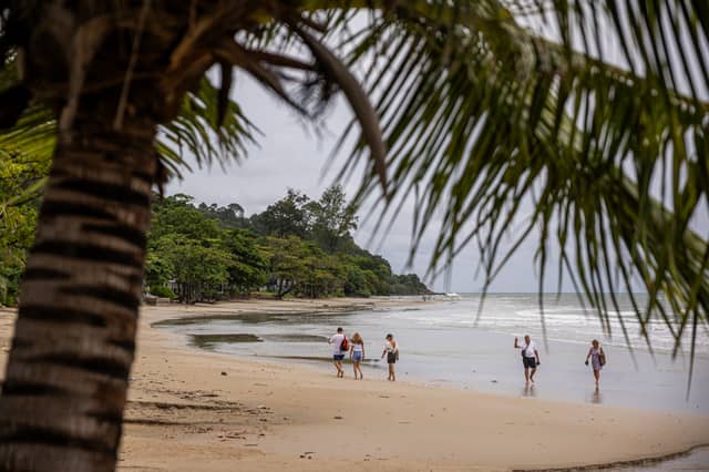

The major 8.8-magnitude earthquake off Russia’s Kamchatka Peninsula has triggered tsunami alerts across the Pacific.
Tsunami alerts have been issued for several destinations including the Philippines and parts of Indonesia, but not Bali. Indonesian authorities have placed only certain eastern regions - such as Papua, North Maluku, Gorontalo, and surrounding provinces - under tsunami advisories with predicted wave heights of less than 0.5 m.
Bali is not included in those advisories. Bali has installed the InaTEWS tsunami warning system and sirens in high-risk coastal areas like Kuta, Sanur, and Nusa Dua, but these have not been activated today.
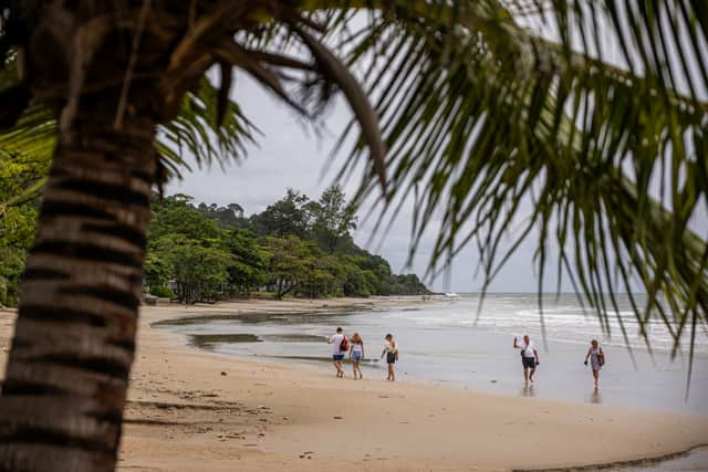
Residents and tourists are still advised to stay alert and follow local news from BMKG (Indonesian Meteorology, Climatology and Geophysics Agency) for real-time updates, especially if a strong earthquake is felt. Know your nearest evacuation routes; in areas like Kuta, Sanur, Nusa Dua, sirens should prompt evacuation to safer zones inland or higher floors.
If you're staying in low-lying beach areas, review your hotel's tsunami plan and emergency assembly points. It comes after the world’s biggest earthquake in 14 years, a massive magnitude 8.8 shock, struck east-southeast of Kamchatska, off the coast of Russia, about 9.24pm (AEST).
Bali and Hawaii are located on opposite sides of the Pacific Ocean and are separated by a vast distance. The direct distance is around 6,400 miles (10,300 kilometers).