
Spain weather: Warning as rain and thunderstorms to hit popular hotspots including Barcelona, Valencia and Girona - with temperatures 10C cooler

Spain’s state weather agency has warned that storms are on the way and temperatures will be 10C cooler than usual for this time of year.
The state meteorological agency (Aemet) warned that there will be "intense storms" in some areas and temperatures "cooler than usual for the season". This change will be particularly noticeable from today, Wednesday, in the north and east of the mainland.
Temperatures will fall up to 10C below average at this time in some areas. However, Aemet warns that the heat will return at the end of the week.
A new front will bring downpours and thunderstorms to north Spain. The front will move east and southeast this Wednesday.
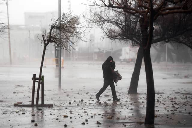

In the afternoon, showers and thunderstorms may occur in the eastern third and central areas, more likely and intense in mountainous areas of the eastern third. However, temperatures in south of the Spanish mainland, the Balearic Islands and the Canary Islands will rise.
Castellón (Valencia) and Barcelona, Girona and Tarragona (Catalonia) will be at an amber level for rain and storms. Also on alert for these phenomena, but at a yellow level, will be Lérida (Catalonia), the Navarrese Pyrenees (Navarre) and Huesca, Teruel and Zaragoza (Aragon).
Likewise, Vega del Segura (Murcia) and Albacete (Castilla-La Mancha) will be under a high temperature warning. The rest of the provinces with warnings will be Menorca (Balearic Islands), due to sea level fluctuations of 0.7 metres, and Gran Canaria, Lanzarote, La Palma, La Gomera, El Hierro and Tenerife (Canary Islands), due to winds of up to 80 kilometres per hour (km/h). In the Canary Islands, cloudy skies are expected in the northeast, with probable light rainfall and partly cloudy or clear skies in the south.