
Snow forecast: Weather maps reveal exact date Scotland to Midlands to be hit by snowy weather - full list of cities expected to be affected

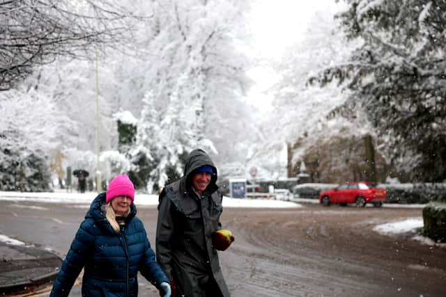
Weather maps have revealed the exact date snow may fall across a swathe of the UK - from Scotland to the Midlands.
Five cities look set for a dusting are Manchester, Blackburn, Leeds, Liverpool, Stoke-on-Trent and Telford, according to maps generated by WX Charts on Wednesday (October 8), using Met Desk data. A wide area of central and northern Scotland from Wick to Stirling look set for snow overnight on Friday, October 24, while parts of the Pennines and north Wales are poised for snowfall, WX Charts' maps show.
Elsewhere, rain appears across much of Wales, the West Midlands, North East England and North Sea coasts at midnight on the same date. Another map shows air temperatures at or below freezing on the same date.

While WX Charts' maps show snow for parts of the UK, forecasters don't mention it in their long-range forecasts. The Met Office says in its latest long range forecast that the period between October 23 and November 6 is likely to see changeable conditions across the UK.
Low pressure will tend to "dominate" he forecaster said. It adds: "Showers or longer spells of rain are likely at times, perhaps heavy in places. Temperatures will probably be close to normal."
Netweather's forecast for October 20-26 says temperatures are likely to be about a degree lower than the long-term average in most places. They will be near or slightly above normal near North Sea coasts, where the winds will be coming in off a warm North Sea.